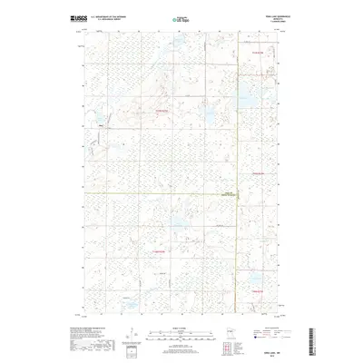
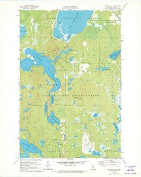
2019 Map of Edna Lake
USGS Topo · Published 2019About this map
Mae sits at the western edge of a landscape defined by an intricate network of waterways and wetlands on the border of Cass and Crow Wing counties. This 2019 survey documents a region dominated by glacial lake basins and the winding courses of the Moose River and Little Pine River. The map shows a clear transition between the clustered waters of Edna Lake, Olds Lake, and Muskeg Lake to the east and the broader expanse of Little Pine Lake to the south. Local transit is managed through a system of forest and township roads, such as Pikus Forest Rd and Moose Willow Rd, which navigate the wetlands and timber. The geography remains largely rural, with scattered residential developments appearing primarily near the shorelines of the larger lakes like Caraway Lake and Jack Lake, illustrating the area's continued use for recreation and seasonal residency in the early 21st century.
Find a feature on this map
38 named features on this map. Tap any name to fly to it.
Don’t see what you’re looking for? This feature index may not catch every label — zoom into the map to look around manually.
Map Details
Editions of this 2019 Edna Lake Map
This is the sole edition of this map. No revisions or reprints were ever made.
Other maps of this area
1913 · Cuyuna
USGS Topo · 1:62,500
1914 · Aitkin
USGS Topo · 1:62,500
1915 · Aitkin
USGS Topo · 1:62,500
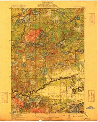
1915 · Cuyuna
USGS Topo · 1:62,500

1953 · Duluth
USGS Topo · 1:250,000

1958 · Duluth
USGS Topo · 1:250,000
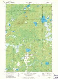
1970 · Edna Lake
USGS Topo · 1:24,000
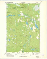
1970 · Shovel Lake
USGS Topo · 1:24,000
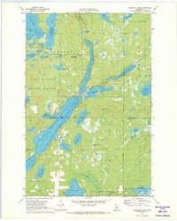
1970 · Roosevelt Lake
USGS Topo · 1:24,000
1970 · Thunder Lake
USGS Topo · 1:24,000