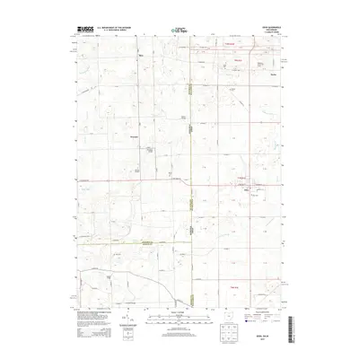
2013 Map of Edon
USGS Topo · Published 2013About this map
The tri-state border region where Ohio, Indiana, and Michigan meet defines the geography of this survey, specifically the transition from Steuben County to Williams County. The settlement of Edon serves as a primary hub, while smaller locales like Metz and Alvarado anchor the surrounding agricultural landscape. This territory is heavily defined by its drainage network, featuring man-made and natural watercourses such as Tamarack Ditch, Fish Creek, and Birch Ditch.
Find a feature on this map
98 named features on this map. Tap any name to fly to it.
Don’t see what you’re looking for? This feature index may not catch every label — zoom into the map to look around manually.
Map Details
Editions of this 2013 Edon Map
This is the sole edition of this map. No revisions or reprints were ever made.
Other maps of this area

1914 · Pioneer
USGS Topo · 1:62,500

1914 · Bryan
USGS Topo · 1:62,500

1939 · Hamilton
USGS Topo · 1:24,000

1939 · Angola East
USGS Topo · 1:24,000

1939 · Clear Lake
USGS Topo · 1:24,000

1940 · Metz
USGS Topo · 1:24,000

1940 · Clear Lake
USGS Topo · 1:24,000

1943 · Bryan
USGS Topo · 1:62,500

1944 · Pioneer
USGS Topo · 1:62,500

1947 · Angola East
USGS Topo · 1:24,000