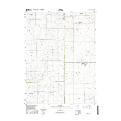
2016 Map of Edon
USGS Topo · Published 2016About this map
The village of Edon serves as a local hub in Williams County near the intersection of the Ohio, Indiana, and Michigan borders. This rural landscape is defined by an intricate network of waterways and drainage ditches, such as Tamarack Ditch, Eagle Cr, and Fish Cr, which support the region's agricultural character. Small clusters of settlement like Metz and Alvarado are connected by a rigid grid of county roads, punctuated by family and community landmarks.
Find a feature on this map
71 named features on this map. Tap any name to fly to it.
Don’t see what you’re looking for? This feature index may not catch every label — zoom into the map to look around manually.
Map Details
Editions of this 2016 Edon Map
This is the sole edition of this map. No revisions or reprints were ever made.
Other maps of this area
1914 · Pioneer
USGS Topo · 1:62,500
1914 · Bryan
USGS Topo · 1:62,500
1939 · Hamilton
USGS Topo · 1:24,000
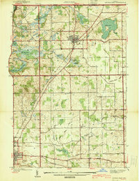
1939 · Angola East
USGS Topo · 1:24,000
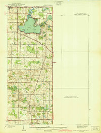
1939 · Clear Lake
USGS Topo · 1:24,000
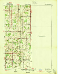
1940 · Metz
USGS Topo · 1:24,000
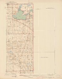
1940 · Clear Lake
USGS Topo · 1:24,000
1943 · Bryan
USGS Topo · 1:62,500
1944 · Pioneer
USGS Topo · 1:62,500
1947 · Angola East
USGS Topo · 1:24,000