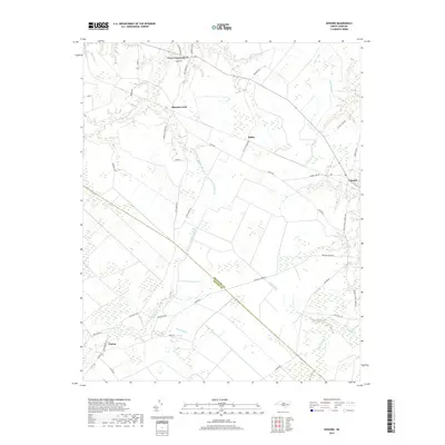
2019 Map of Edward
USGS Topo · Published 2019About this map
Coxs Crossroads and Stilley anchor a low-lying landscape defined by intricate drainage networks on the border of Beaufort and Craven counties. The area is dominated by several significant watercourses, including the winding path of Blounts Creek and the expansive reaches of Poundpole Swamp Branch. Local settlement patterns follow established rural corridors such as Tuten RD and Aurora RD, which connect scattered homesteads and small communities like Edward and Cayton. The hydrography of the region is notably complex, with Bushy Fork and Little Swift Creek feeding into the larger coastal plains ecosystem. Numerous family-named roads like Swindell RD and Stilley Town RD reflect the deep-rooted local heritage of this part of eastern North Carolina, where agriculture and forestry remain central to the landscape.
Find a feature on this map
41 named features on this map. Tap any name to fly to it.
Don’t see what you’re looking for? This feature index may not catch every label — zoom into the map to look around manually.
Map Details
Editions of this 2019 Edward Map
This is the sole edition of this map. No revisions or reprints were ever made.
Other maps of this area

1901 · New Bern
USGS Topo · 1:62,500

1902 · Vanceboro
USGS Topo · 1:62,500

1903 · New Bern
USGS Topo · 1:62,500

1904 · Vanceboro
USGS Topo · 1:62,500

1905 · Vanceboro
USGS Topo · 1:62,500

1950 · Aurora
USGS Topo · 1:24,000

1950 · Edward
USGS Topo · 1:24,000

1951 · Bath
USGS Topo · 1:24,000

1951 · Hackney
USGS Topo · 1:24,000

1953 · Blounts Bay
USGS Topo · 1:24,000