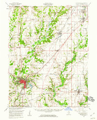
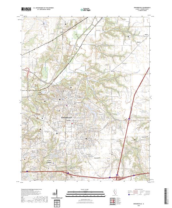
1927 Map of Edwardsville
USGS Topo · Published 1957About this map
The industrial and agricultural heart of Madison County is revealed in this 1927 survey, where a dense network of competing rail lines—including the Illinois Traction System, Wabash Railroad, and New York Chicago and St Louis Railroad—converges on Edwardsville. This era captures the transition between rural country life and the growing industrial output of sites like the Klondike Mine. Beyond the urban centers of Glen Carbon and Le Claire, the landscape is partitioned into a grid of one-room schoolhouses such as Quercus Grove Sch and Hazel Dell Sch, which served the farming townships of Hamel, Alhambra, and Omphghent. The drainage patterns of Cahokia Creek and Silver Creek dictate the terrain, while the heights of Neudeckers Mtn stand out near Marine. This map records a moment when local rail sidings like Kuhn Siding were essential lifelines for small rural communities.
Find a feature on this map
84 named features on this map. Tap any name to fly to it.
Don’t see what you’re looking for? This feature index may not catch every label — zoom into the map to look around manually.
Map Details
Editions of this 1927 Edwardsville Map
This is the sole edition of this map. No revisions or reprints were ever made.
Historical Maps of Oak Ridge Estates Through Time
7 maps found