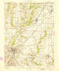
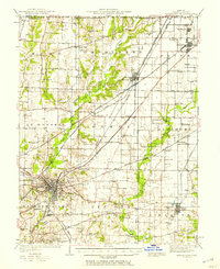
1932 Map of Edwardsville
USGS Topo · Published 1932About this map
Edwardsville serves as the central hub for a complex network of railways and rural communities in this early 1930s survey. Industrial activity is prominent, notably at the Klondike Mine and within the planned company town atmosphere of Le Claire. The landscape is defined by the convergence of major rail lines, including the Illinois Traction System and the Wabash RR, which linked the coal-producing and agricultural regions of Madison County.
Find a feature on this map
80 named features on this map. Tap any name to fly to it.
Don’t see what you’re looking for? This feature index may not catch every label — zoom into the map to look around manually.
Map Details
Editions of this 1932 Edwardsville Map
2 editions found

Other maps of this area

1888 · St. Louis
USGS Topo · 1:62,500
1906 · Breese
USGS Topo · 1:62,500
1907 · Breese
USGS Topo · 1:62,500
1907 · Belleville
USGS Topo · 1:62,500
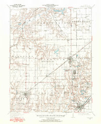
1912 · Gillespie
USGS Topo · 1:62,500
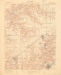
1915 · Gillespie
USGS Topo · 1:62,500
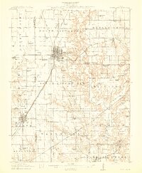
1915 · Mount Olive
USGS Topo · 1:62,500
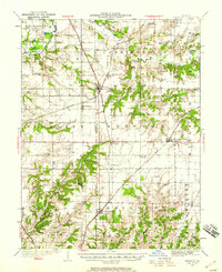
1925 · Brighton
USGS Topo · 1:62,500

1927 · Alton
USGS Topo · 1:62,500
1927 · Edwardsville
USGS Topo · 1:62,500