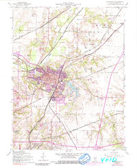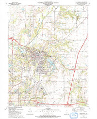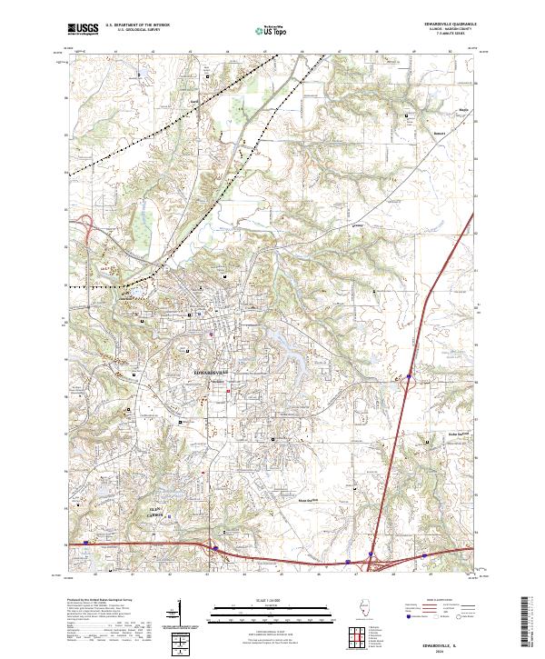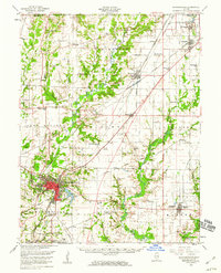
1954 Map of Edwardsville
USGS Topo · Published 1960About this map
The city of Edwardsville anchors this mid-century portrait of Madison County, showing the intersection of industrial expansion and rural heritage. The map details the residential neighborhood of LeClaire and the critical junction at Blue Junction, where the Illinois Terminal railroad network supported the region's transport economy. Beyond the urban center, the landscape is dotted with early twentieth-century rural institutions, from Quercus Grove Sch to the Liberty Prairie Cem, reflecting a settled countryside of small family holdings. The local mining history is evidenced by the Mine Dump near Worden, while the transition to modern recreation is marked by the development around Dunlap Lake. Significant natural drainage features like Cahokia Creek and Silver Creek dictate the topography, carving through the agricultural townships of Omphghent and Fort Russell.
Find a feature on this map
81 named features on this map. Tap any name to fly to it.
Don’t see what you’re looking for? This feature index may not catch every label — zoom into the map to look around manually.
Map Details
Editions of this 1954 Edwardsville Map
This is the sole edition of this map. No revisions or reprints were ever made.
Historical Maps of Oak Ridge Estates Through Time
7 maps found