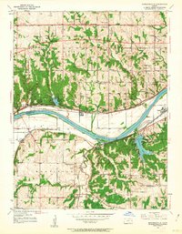
1950 Map of Edwardsville
USGS Topo · Published 1963About this map
The Kansas River carves a deep valley through the center of this terrain, separating the northern ridges of Edwardsville and Grinter Heights from the southern township of Monticello. Two major rail lines, the Union Pacific and the Atchison Topeka and Santa Fe, run parallel to the river, anchoring the industrial and transit character of settlements like Morris, Holliday, and Wilder. The landscape is characterized by a dense network of country schools, including Horanif Sch, Mission Sch, and Greenwood Sch, reflecting a well-distributed rural population in both Wyandotte and Johnson counties. Significant family and community landmarks, such as Grinter Chapel, Gethsemane Ch, and the Chapel Hill Memorial Gardens Cemetery, offer specific touchpoints for local historians and genealogists. In the southern half, Clear Creek and Little Mill Creek snake through more agricultural surroundings toward Zarah.
Find a feature on this map
48 named features on this map. Tap any name to fly to it.
Don’t see what you’re looking for? This feature index may not catch every label — zoom into the map to look around manually.
Map Details
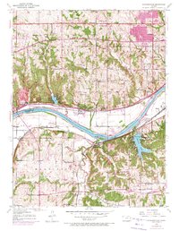
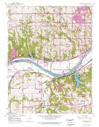
Editions of this 1950 Edwardsville Map
3 editions found
Other maps of this area

1887 · Olathe
USGS Topo · 1:125,000

1890 · Kansas City
USGS Topo · 1:125,000

1893 · Olathe
USGS Topo · 1:125,000

1894 · Kansas City
USGS Topo · 1:125,000

1934 · Bonner Springs
USGS Topo · 1:48,000

1934 · Shawnee
USGS Topo · 1:24,000

1934 · Edwardsville
USGS Topo · 1:24,000

1934 · Wolcott
USGS Topo · 1:24,000

1935 · Olathe
USGS Topo · 1:24,000

1935 · Lenexa
USGS Topo · 1:24,000