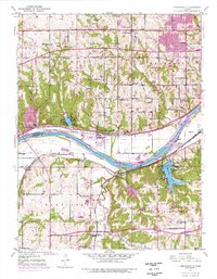
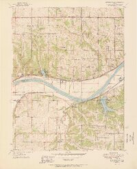
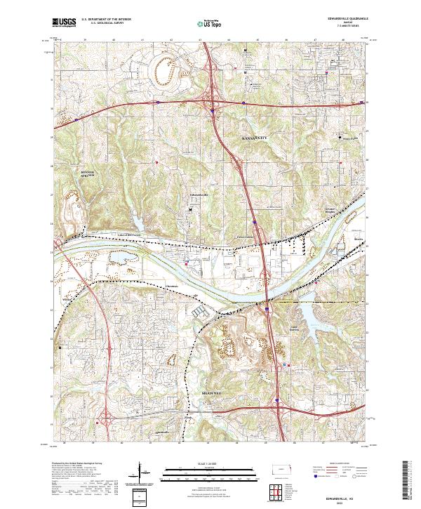
1950 Map of Edwardsville
USGS Topo · Published 1977About this map
The Kansas River carves a deep valley through this landscape, defining the border between Wyandotte and Monticello townships. Along its northern banks, the Union Pacific railroad services the town of Edwardsville, while the Atchison Topeka and Santa Fe runs parallel to the south, passing through the settlement of Holliday. This era shows the early footprints of suburban expansion from Kansas City, visible in the burgeoning residential pockets at Grinter Heights and Stony Point.
Find a feature on this map
55 named features on this map. Tap any name to fly to it.
Don’t see what you’re looking for? This feature index may not catch every label — zoom into the map to look around manually.
Map Details
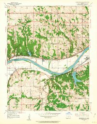
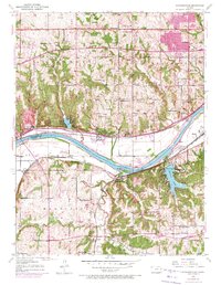
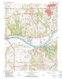
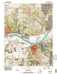
Editions of this 1950 Edwardsville Map
3 editions found
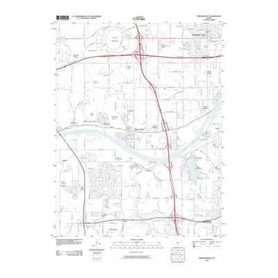
Historical Maps of Kansas City Through Time
10 maps found
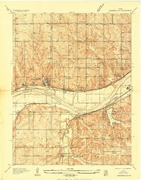
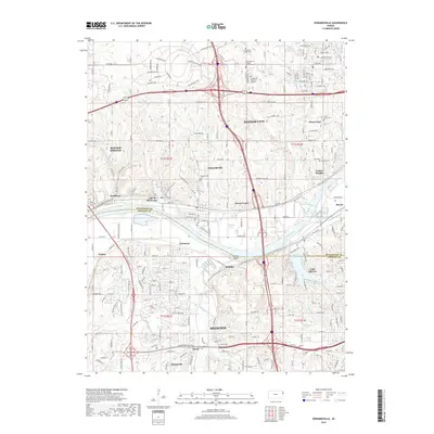
1934 Edwardsville
Wyandotte County, KS
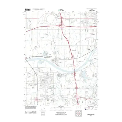
1950 Edwardsville
Wyandotte County, KS
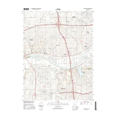
1951 Edwardsville
Wyandotte County, KS
1984 Edwardsville
Wyandotte County, KS
1991 Edwardsville
Wyandotte County, KS
2009 Edwardsville
Wyandotte County, KS
2012 Edwardsville
Wyandotte County, KS
2015 Edwardsville
Wyandotte County, KS
2018 Edwardsville
Wyandotte County, KS
2022 Edwardsville
Wyandotte County, KS