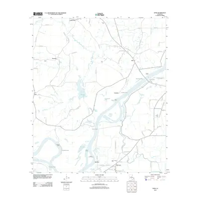
2012 Map of Effie
USGS Topo · Published 2012About this map
The Red River snakes through this portion of Avoyelles Parish, defining a landscape of low-lying wetlands, oxbow-adjacent lakes, and scattered river landings. In the early 21st century, the community of Effie serves as a central point for the region's rural road network, which connects smaller settlements like Cassandra, Egg Bend, and Fifth Ward. The map documents a distinct river-oriented geography where numerous access points such as Moncla Landing, Myrtle Grove Landing, and Martinez Landing line the banks, supporting local navigation and commerce along the waterway.
Find a feature on this map
97 named features on this map. Tap any name to fly to it.
Don’t see what you’re looking for? This feature index may not catch every label — zoom into the map to look around manually.
Map Details
Editions of this 2012 Effie Map
This is the sole edition of this map. No revisions or reprints were ever made.
Other maps of this area

1935 · Lecompte
USGS Topo · 1:62,500

1940 · Marksville
USGS Topo · 1:62,500

1941 · Alexandria
USGS Topo · 1:62,500

1941 · Buckeye
USGS Topo · 1:62,500

1953 · Alexandria
USGS Topo · 1:250,000

1955 · Alexandria
USGS Topo · 1:250,000

1957 · Alexandria
USGS Topo · 1:62,500

1957 · Lecompte
USGS Topo · 1:62,500

1959 · Buckeye
USGS Topo · 1:62,500
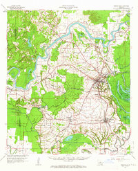
1962 · Marksville
USGS Topo · 1:62,500