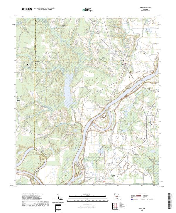
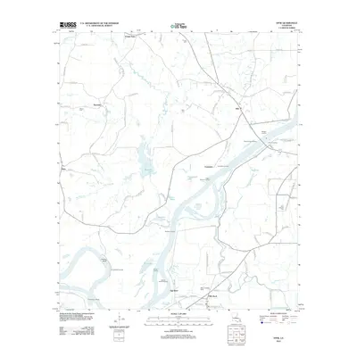
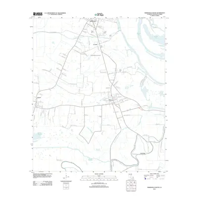
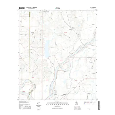
2024 Map of Effie
USGS Topo · Published 2024About this map
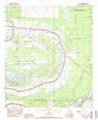
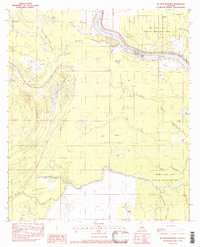
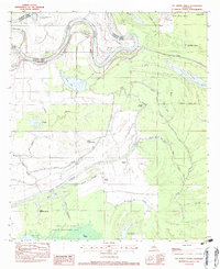
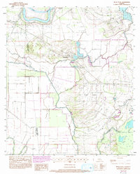
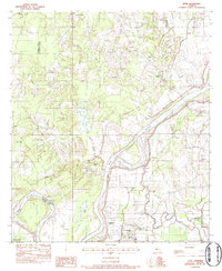
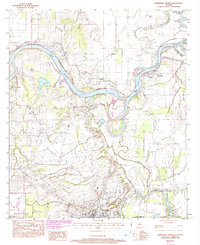
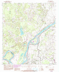
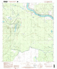
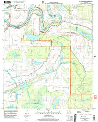
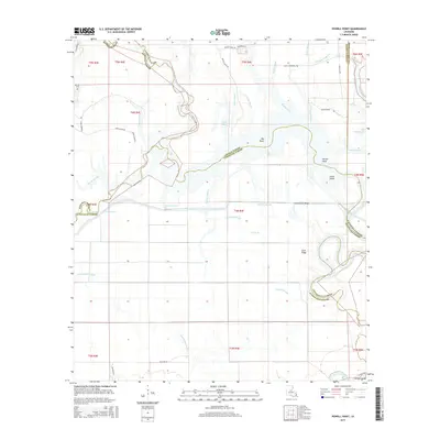
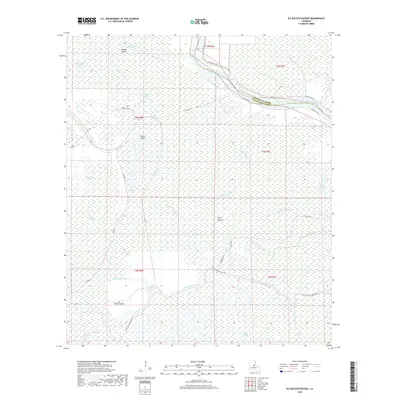
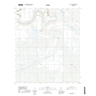
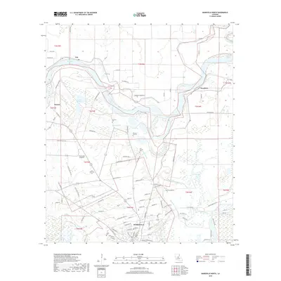
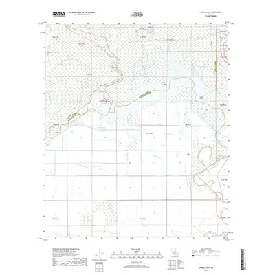
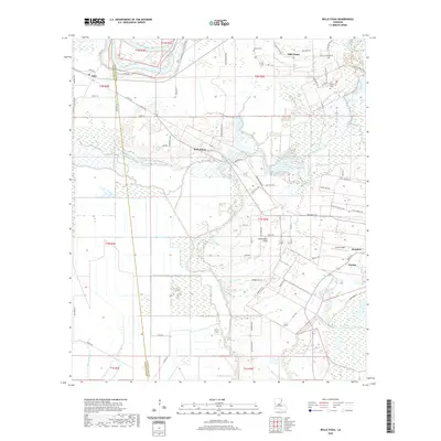
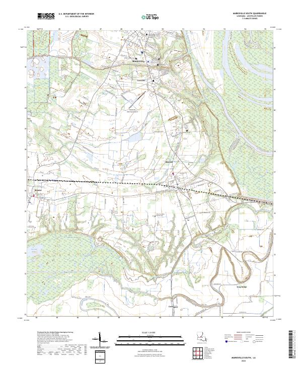
The Red River meanders through this landscape on the border of Avoyelles and Rapides Parishes, defining a terrain shaped by oxbow lakes and wetlands. Low-lying backwaters such as Champignol Lake and Gin Lake occupy the river's historic floodplain, while the eastern edge is preserved within the Grand Cote National Wildlife Refuge. The settlement pattern follows the higher ground and river bends, ranging from the crossroads at Center Point to the riverside community at Grimes Bluff. Evidence of the area's river-dependent history is seen at David Ferry, where early transit once crossed the channel. Away from the water, the map documents numerous rural landmarks essential for local history, including Oak Grove Cem near Effie, and Saint Catherine Cem further south. The presence of Red-Hawk Airport highlights more modern transportation needs alongside the traditional farm-to-market road network that connects Fifth Ward and Ruby.
Find a feature on this map
94 named features on this map. Tap any name to fly to it.
Don’t see what you’re looking for? This feature index may not catch every label — zoom into the map to look around manually.
Map Details
Editions of this 2024 Effie Map
This is the sole edition of this map. No revisions or reprints were ever made.
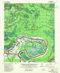
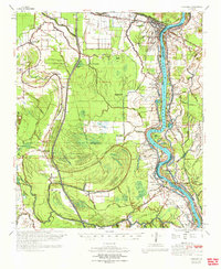
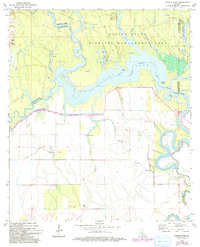
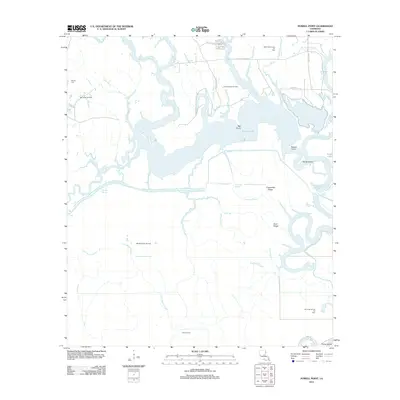
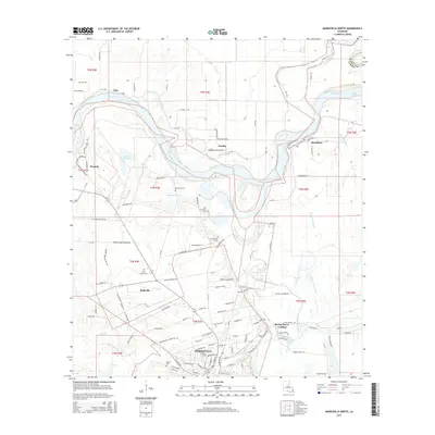
Historical Maps of Center Point Through Time
54 maps found
1941 Voorhies
Avoyelles Parish, LA

1955 Odenburg
Avoyelles Parish, LA
1970 Odenburg
Avoyelles Parish, LA
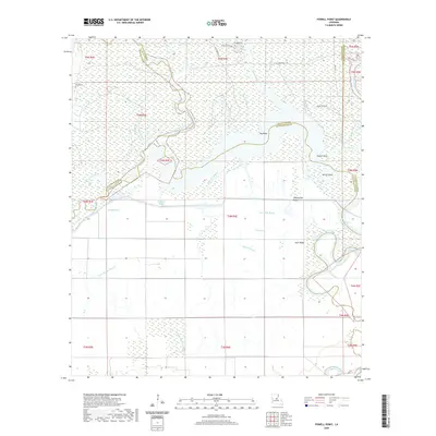
1972 Powell Point
Avoyelles Parish, LA
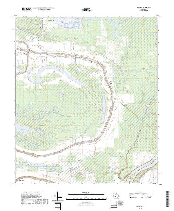
1982 Big Bend
Avoyelles Parish, LA
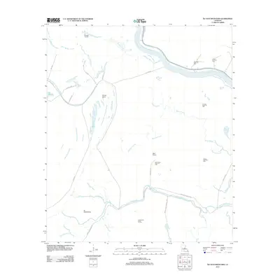
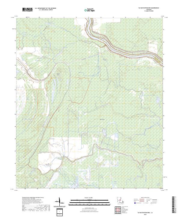
1982 Ile Natchitoches
Avoyelles Parish, LA
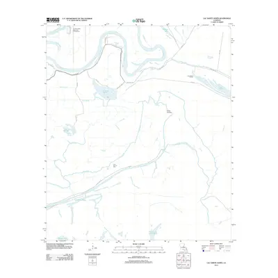
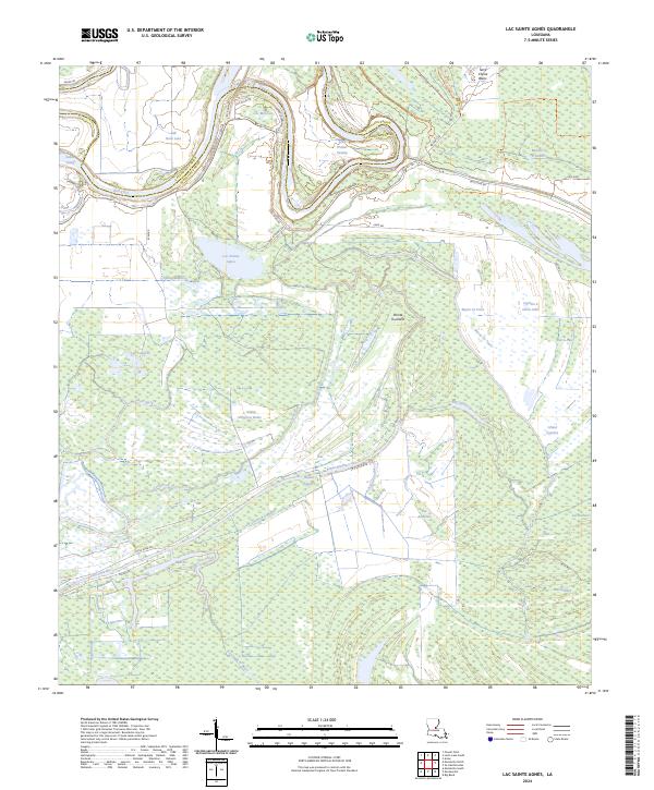
1982 Lac Sainte Agnes
Avoyelles Parish, LA
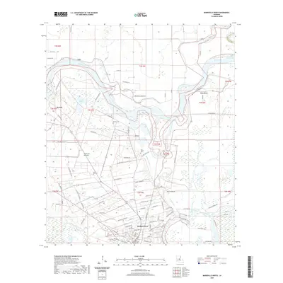
1982 Marksville South
Avoyelles Parish, LA
1983 Belle D'Eau
Avoyelles Parish, LA
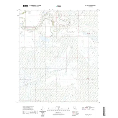
1983 Effie
Avoyelles Parish, LA
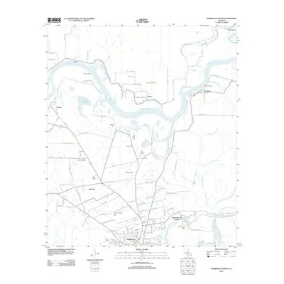
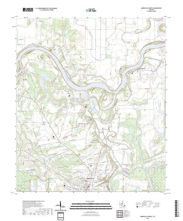
1983 Marksville North
Avoyelles Parish, LA
1993 Effie
Avoyelles Parish, LA
1996 Ile Natchitoches
Avoyelles Parish, LA
1999 Lac Sainte Agnes
Avoyelles Parish, LA
2012 Belle d'Eau
Avoyelles Parish, LA
2012 Big Bend
Avoyelles Parish, LA
2012 Effie
Avoyelles Parish, LA
2012 Ile Natchitoches
Avoyelles Parish, LA
2012 Lac Sainte Agnes
Avoyelles Parish, LA
2012 Marksville North
Avoyelles Parish, LA
2012 Marksville South
Avoyelles Parish, LA
2012 Powell Point
Avoyelles Parish, LA
2015 Belle d'Eau
Avoyelles Parish, LA
2015 Big Bend
Avoyelles Parish, LA
2015 Effie
Avoyelles Parish, LA
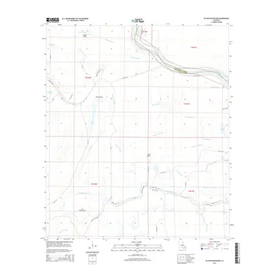
2015 Ile Natchitoches
Avoyelles Parish, LA
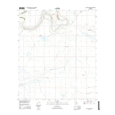
2015 Lac Sainte Agnes
Avoyelles Parish, LA
2015 Marksville North
Avoyelles Parish, LA

2015 Marksville South
Avoyelles Parish, LA
2015 Powell Point
Avoyelles Parish, LA
2018 Belle d'Eau
Avoyelles Parish, LA
2018 Big Bend
Avoyelles Parish, LA
2018 Effie
Avoyelles Parish, LA
2018 Ile Natchitoches
Avoyelles Parish, LA
2018 Lac Sainte Agnes
Avoyelles Parish, LA
2018 Marksville North
Avoyelles Parish, LA

2018 Marksville South
Avoyelles Parish, LA
2018 Powell Point
Avoyelles Parish, LA
2020 Belle d'Eau
Avoyelles Parish, LA
2020 Big Bend
Avoyelles Parish, LA
2020 Effie
Avoyelles Parish, LA
2020 Ile Natchitoches
Avoyelles Parish, LA
2020 Lac Sainte Agnes
Avoyelles Parish, LA
2020 Marksville North
Avoyelles Parish, LA

2020 Marksville South
Avoyelles Parish, LA
2020 Powell Point
Avoyelles Parish, LA
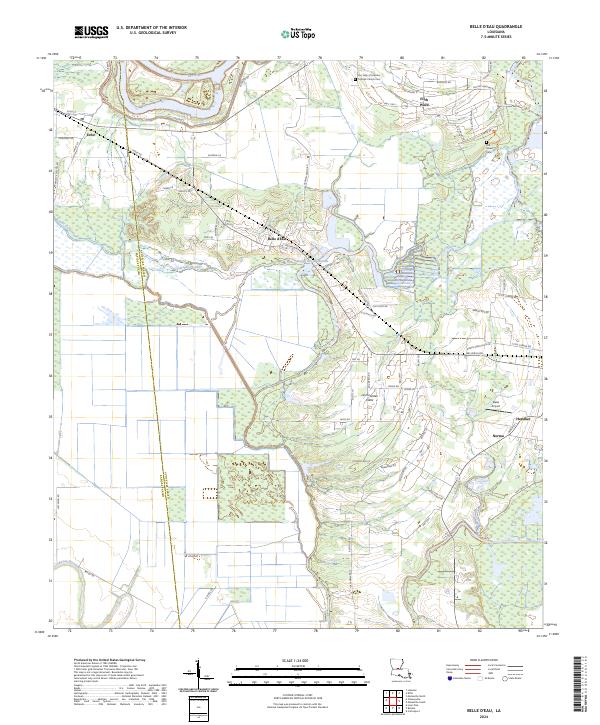
2024 Belle d'Eau
Avoyelles Parish, LA
2024 Big Bend
Avoyelles Parish, LA
2024 Effie
Avoyelles Parish, LA
2024 Ile Natchitoches
Avoyelles Parish, LA
2024 Lac Sainte Agnes
Avoyelles Parish, LA
2024 Marksville North
Avoyelles Parish, LA
2024 Marksville South
Avoyelles Parish, LA

2024 Powell Point
Avoyelles Parish, LA