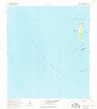
1964 Map of Egmont Key
USGS Topo · Published 1970About this map
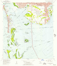
Egmont Key stands as a vital maritime sentinel at the mouth of Tampa Bay, documented here through data revised in the late 1960s. This survey emphasizes the island's strategic role in coastal navigation and defense, showing the established Lighthouse and Lookout Tower on the northern end. Of particular interest to historians are the noted Ruins further south, hinting at the island's long history of military occupation and shifting sands. The surrounding waters are meticulously charted, from the deep Egmont Channel to the southern Passage Key Inlet. The boundary between Hillsborough and Manatee Counties cuts through the Southwest Channel, illustrating how this isolated key anchors the regional geography where the bay meets the Gulf of Mexico.
Find a feature on this map
10 named features on this map. Tap any name to fly to it.
Don’t see what you’re looking for? This feature index may not catch every label — zoom into the map to look around manually.
Map Details
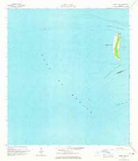
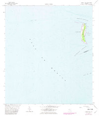
Editions of this 1964 Egmont Key Map
3 editions found
Other maps of this area

1921 · Fort De Soto
USGS Topo · 1:62,500

1943 · Pass-A-Grille
USGS Topo · 1:31,680

1944 · Egmont Key
USGS Topo · 1:31,680

1944 · Anna Maria
USGS Topo · 1:31,680

1944 · Bradenton Beach
USGS Topo · 1:31,680
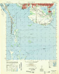
1949 · Pass-A-Grille
USGS Topo · 1:25,000
1956 · Pass-A-Grille Beach
USGS Topo · 1:24,000

1956 · Tampa
USGS Topo · 1:250,000

1959 · Tampa
USGS Topo · 1:250,000

1960 · Tampa
USGS Topo · 1:250,000