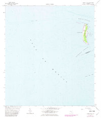
1964 Map of Egmont Key
USGS Topo · Published 1982About this map
Egmont Key stands as a strategic sentinel at the entrance to Tampa Bay, marking the boundary between the Gulf of Mexico and the inner shipping channels. This 1964 survey, with 1981 revisions, documents the island during its tenure as the Egmont Key National Wildlife Refuge. The map reveals a landscape defined by maritime navigation and historical military presence, including a lighthouse, a lookout tower, and several unnamed ruins at the island's southern tip. The surrounding hydrography is equally detailed, tracing the deep waters of the Egmont Channel and Southwest Channel which separate Hillsborough and Manatee counties. Maritime researchers can trace the shifting sands near Passage Key Inlet and the various aids to navigation that have historically guided vessels into one of Florida’s most important harbors.
Find a feature on this map
14 named features on this map. Tap any name to fly to it.
Don’t see what you’re looking for? This feature index may not catch every label — zoom into the map to look around manually.
Map Details
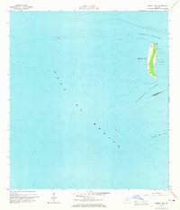
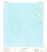
Editions of this 1964 Egmont Key Map
3 editions found
Other maps of this area

1921 · Fort De Soto
USGS Topo · 1:62,500

1943 · Pass-A-Grille
USGS Topo · 1:31,680

1944 · Egmont Key
USGS Topo · 1:31,680

1944 · Anna Maria
USGS Topo · 1:31,680

1944 · Bradenton Beach
USGS Topo · 1:31,680
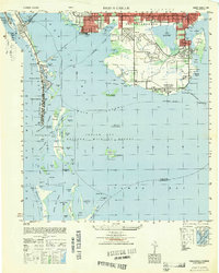
1949 · Pass-A-Grille
USGS Topo · 1:25,000
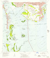
1956 · Pass-A-Grille Beach
USGS Topo · 1:24,000

1956 · Tampa
USGS Topo · 1:250,000

1959 · Tampa
USGS Topo · 1:250,000

1960 · Tampa
USGS Topo · 1:250,000