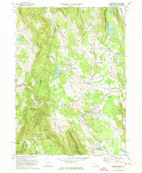
1973 Map of Egremont
USGS Topo · Published 1974About this map
The New York Massachusetts state line carves through a high-relief landscape of the Berkshires, where agriculture meets specialized education and mountain recreation. The central valley is anchored by North Egremont and South Egremont, while higher elevations to the west are dominated by the Mount Washington State Forest and the heights of Mt Fray and Mt Sterling. Distinctive institutions of the early 1970s appear, including Simon's Rock Early College and Cornwall Academy, reflecting the region's mid-century academic character.
Find a feature on this map
68 named features on this map. Tap any name to fly to it.
Don’t see what you’re looking for? This feature index may not catch every label — zoom into the map to look around manually.
Map Details
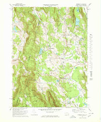
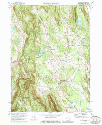
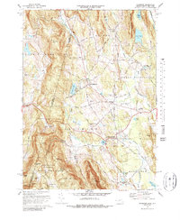
Editions of this 1973 Egremont Map
4 editions found
Other maps of this area

1885 · Sheffield
USGS Topo · 1:62,500

1888 · Sheffield
USGS Topo · 1:62,500

1888 · Pittsfield
USGS Topo · 1:62,500

1890 · Pittsfield
USGS Topo · 1:62,500

1891 · Sheffield
USGS Topo · 1:62,500

1893 · Sheffield
USGS Topo · 1:62,500

1893 · Pittsfield
USGS Topo · 1:62,500

1894 · Pittsfield
USGS Topo · 1:62,500

1897 · Pittsfield
USGS Topo · 1:62,500

1897 · Sheffield
USGS Topo · 1:62,500