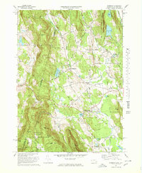
1973 Map of Egremont
USGS Topo · Published 1978About this map
The hills and valleys of Berkshire County at the Massachusetts-New York border are defined here by a mix of educational institutions and recreation. In the northeast, Simon's Rock Early College and Cornwall Academy highlight the region's concentration of schools, while the Catamount Ski Area and the Appalachian Trail crossing the southern peaks of Mount Washington State Forest underscore its role as a destination for outdoor activity. The presence of the Battlesite Mon near South Egremont serves as a physical marker of local history in a landscape otherwise dotted with small family-named landmarks like Baldwin Hill and Townhouse Hill. Grounded in early 1970s data, this survey reveals an economy and lifestyle where the Shun Toll Road and the Great Barrington Airport connect these small settlements to the broader tri-state area.
Find a feature on this map
70 named features on this map. Tap any name to fly to it.
Don’t see what you’re looking for? This feature index may not catch every label — zoom into the map to look around manually.
Map Details
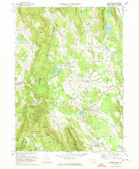
Editions of this 1973 Egremont Map
4 editions found


Other maps of this area

1885 · Sheffield
USGS Topo · 1:62,500

1888 · Sheffield
USGS Topo · 1:62,500

1888 · Pittsfield
USGS Topo · 1:62,500

1890 · Pittsfield
USGS Topo · 1:62,500

1891 · Sheffield
USGS Topo · 1:62,500

1893 · Sheffield
USGS Topo · 1:62,500

1893 · Pittsfield
USGS Topo · 1:62,500

1894 · Pittsfield
USGS Topo · 1:62,500

1897 · Pittsfield
USGS Topo · 1:62,500

1897 · Sheffield
USGS Topo · 1:62,500