
1954 Map of Ehren
USGS Topo · Published 1955About this map
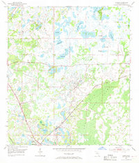
The settlement of Ehren serves as the focal point for this mid-century survey of Pasco County, where the infrastructure of the Atlantic Coast Line and Seaboard Air Line railroads dictated the movement of goods and people. The landscape is defined by an intricate mosaic of water and wetlands, dominated by the eastern expanse of the Big Cypress Swamp and the headwaters of Cypress Creek. Local life in this era centered on small rural landmarks such as Oak Grove Ch and the Ehren Cem, providing essential points of reference for genealogists tracing family roots in central Florida. The map documents a high density of named water bodies, including Big Fish Lake, Goose Lake, and Bird Island Lakes, which reflect the karst topography and high water table of the region before significant 20th-century drainage and development projects altered the local hydrology.
Find a feature on this map
25 named features on this map. Tap any name to fly to it.
Don’t see what you’re looking for? This feature index may not catch every label — zoom into the map to look around manually.
Map Details
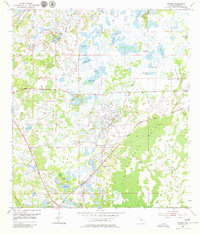
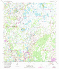
Editions of this 1954 Ehren Map
4 editions found
Other maps of this area

1943 · Odessa
USGS Topo · 1:24,000

1943 · Lutz
USGS Topo · 1:24,000

1944 · Wesley Chapel
USGS Topo · 1:31,680

1944 · Lutz
USGS Topo · 1:31,680

1944 · Odessa
USGS Topo · 1:31,680

1949 · Odessa
USGS Topo · 1:25,000

1954 · Spring Lake
USGS Topo · 1:24,000

1954 · San Antonio
USGS Topo · 1:24,000

1954 · Fivay
USGS Topo · 1:24,000

1954 · Masaryktown
USGS Topo · 1:24,000