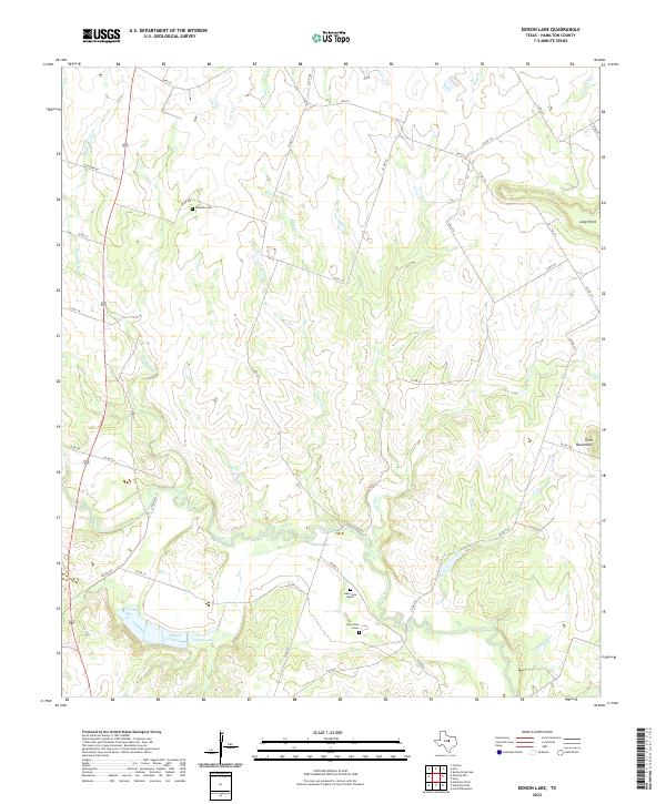
2022 Map of Eidson Lake
USGS Topo · Published 2022About this map
Leon River meanders through this portion of Hamilton County, shaping a landscape defined by sharp elevation shifts and named promontories like Twin Mountains and Long Point. The river’s path is flanked by several significant tributaries, including Mesquite Cr and Indian Cr, which cut through the terrain toward their confluence. For genealogists and local historians, the presence of three distinct cemeteries—Preacher Cem to the north and the Gann Cem Upper and Gann Cem Lower complex to the south—provides valuable reference points for family research in this rural pocket of Texas. The eponymous Eidson Lake serves as a central landmark in the southern reaches, where the network of county roads like Co RD 210 and Co RD 215 provides access to the dispersed homesteads and farms that characterize the area's development.
Find a feature on this map
40 named features on this map. Tap any name to fly to it.
Don’t see what you’re looking for? This feature index may not catch every label — zoom into the map to look around manually.
Map Details
Editions of this 2022 Eidson Lake Map
This is the sole edition of this map. No revisions or reprints were ever made.
Other maps of this area

1888 · Hamilton
USGS Topo · 1:125,000

1888 · Meridian
USGS Topo · 1:125,000

1894 · Hamilton
USGS Topo · 1:125,000

1894 · Meridian
USGS Topo · 1:125,000

1954 · Brownwood
USGS Topo · 1:250,000

1954 · Waco
USGS Topo · 1:250,000

1955 · Waco
USGS Topo · 1:250,000

1956 · Gentrys Mill
USGS Topo · 1:24,000

1956 · Hico
USGS Topo · 1:62,500

1956 · Hamilton
USGS Topo · 1:62,500