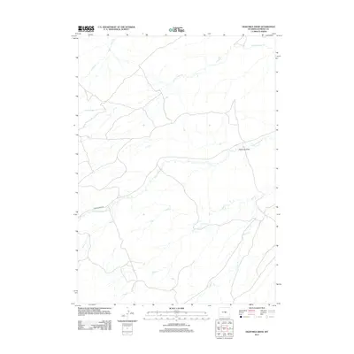
2012 Map of Eightmile Draw
USGS Topo · Published 2012About this map
Poison Spider Rd cuts through the high plains of Natrona County, following the natural drainage patterns of this arid landscape. The area is defined by an intricate network of intermittent waterways, including the winding Poison Spider Cr and the central depression of Eightmile Draw. These drainages represent the vital hydrology of the region, where water flow from S Fork Casper Cr and Coyote Cr shapes the prairie topography. The lack of dense settlement on this sheet highlights the territory's primary use for ranching and resource management in the early 21st century. Smaller tributaries such as Peach Cr, Soap Cr, and Cabin Cr illustrate the complex watershed that eventually feeds into larger basins beyond the quadrangle's borders.
Find a feature on this map
8 named features on this map. Tap any name to fly to it.
Don’t see what you’re looking for? This feature index may not catch every label — zoom into the map to look around manually.
Map Details
Editions of this 2012 Eightmile Draw Map
This is the sole edition of this map. No revisions or reprints were ever made.
Other maps of this area

1951 · Pine Mountain SW
USGS Topo · 1:24,000

1951 · Mc Cleary Reservoir
USGS Topo · 1:24,000

1951 · Square Top Butte
USGS Topo · 1:24,000

1955 · Casper
USGS Topo · 1:250,000

1958 · Casper
USGS Topo · 1:250,000

1959 · Gaylord Reservoir
USGS Topo · 1:24,000

1959 · Eightmile Draw
USGS Topo · 1:24,000

1959 · Broad Mesa
USGS Topo · 1:24,000

1959 · Horse Creek Springs
USGS Topo · 1:24,000
1959 · Stinking Water Creek
USGS Topo · 1:24,000