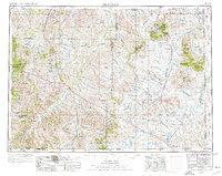
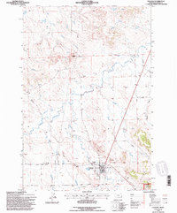
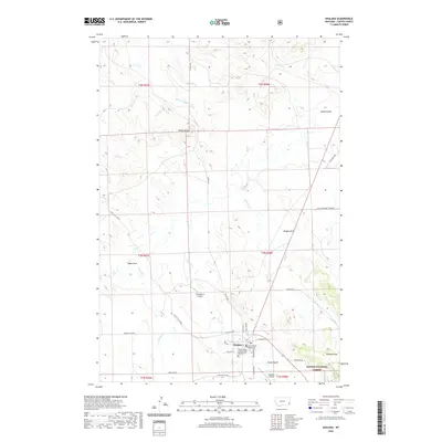
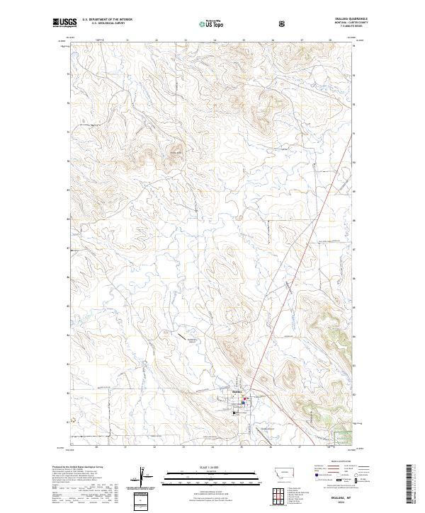
1954 Map of Ekalaka
USGS Topo · Published 1976About this map
Powder River and Boxelder Creek define the drainage patterns of this southeastern Montana landscape as it appeared in the mid-1950s. The region is characterized by isolated settlements and extensive ranching lands, with the Custer National Forest providing significant timber and grazing tracts. Small hubs like Ekalaka, Broadus, and Alzada serve as anchors for the rural population, while landmarks such as Capitol Rock and Belltower Butte rise above the surrounding terrain. Local education is represented by the isolated Hay Creek School, and industrial activity is evidenced by a developing Oil Field and various Gravel Pit sites. The map also records the complex jurisdictional boundaries where Montana meets Wyoming and South Dakota, showing the early infrastructure of roads like Highway 212 connecting the various creek-side communities.
Find a feature on this map
119 named features on this map. Tap any name to fly to it.
Don’t see what you’re looking for? This feature index may not catch every label — zoom into the map to look around manually.
Map Details
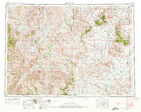
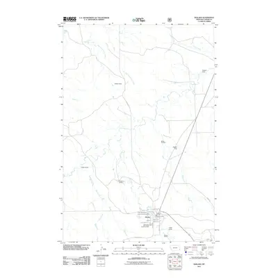
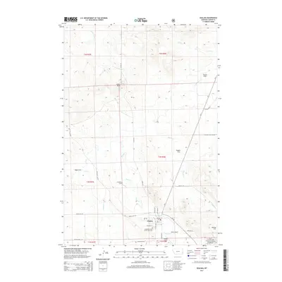
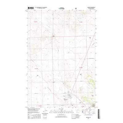
Editions of this 1954 Ekalaka Map
3 editions found

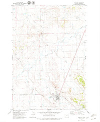
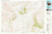
Historical Maps of Broadus Through Time
12 maps found
1954 Ekalaka
Carter County, MT

1956 Ekalaka
Carter County, MT

1958 Ekalaka
Carter County, MT

1965 Ekalaka
Carter County, MT
1979 Ekalaka
Carter County, MT
1982 Ekalaka
Carter County, MT
1993 Ekalaka
Carter County, MT
2011 Ekalaka
Carter County, MT
2014 Ekalaka
Carter County, MT
2017 Ekalaka
Carter County, MT
2020 Ekalaka
Carter County, MT
2024 Ekalaka
Carter County, MT