
1958 Map of El Centro
USGS Topo · Published 1972About this map
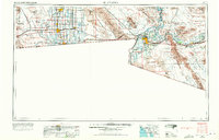
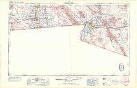
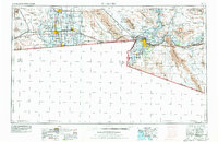
Imperial Valley's complex irrigation network is the centerpiece of this mid-century survey, showcasing a desert landscape transformed by the All American Canal and Coachella Canal. The map documents the intensive agricultural grid surrounding Brawley, Imperial, and El Centro, where gravity-fed water from the Colorado River meets the rich soils of the East Mesa. Beyond the cultivated fields, the terrain shifts abruptly to the arid Sand Hills and the mineral-rich Cargo Muchacho Mountains, home to historic operations like the Picacho Mine and American Girl Mine. Along the international border, the twin cities of Calexico and Mexicali anchor a region defined by geopolitical boundaries and massive military footprints, including the US Naval Impact Range and the sprawling Yuma Proving Grounds to the east.
Find a feature on this map
134 named features on this map. Tap any name to fly to it.
Don’t see what you’re looking for? This feature index may not catch every label — zoom into the map to look around manually.
Map Details
Editions of this 1958 El Centro Map
4 editions found
Other maps of this area

1903 · Yuma
USGS Topo · 1:125,000

1905 · Yuma
USGS Topo · 1:125,000

1907 · Holtville
USGS Topo · 1:125,000

1915 · El Centro
USGS Topo · 1:125,000

1926 · Fortuna
USGS Topo · 1:62,500

1926 · Wellton
USGS Topo · 1:62,500

1926 · Mohawk
USGS Topo · 1:62,500

1928 · Mohawk
USGS Topo · 1:62,500

1928 · Norton
USGS Topo · 1:62,500

1929 · Fortuna
USGS Topo · 1:62,500