
1957 Map of El Mirage
USGS Topo · Published 1958About this map
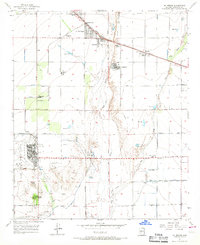
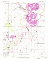
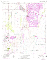
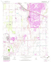
Luke AFB dominates the central portion of this West Valley survey, highlighting the significant military presence in the Salt River Valley during the late 1950s. The landscape is defined by the braided channels of the Agua Fria River and the New River, with agricultural development expanding across the desert plains via a network of irrigation reservoirs and canals. Small settlements and railroad stops like Ennis Station, Surprise, and El Mirage line the Atchison Topeka and Santa Fe tracks, serving the regional farming economy. In the southern half, the Wigwam Country Club and Litchfield Airport point toward the burgeoning recreational and transit infrastructure of the era. A poignant piece of local genealogy is found at Heath Grave, a lone burial site preserved amidst the section lines, while the Dysart Sch and La Loma Ranch represent the institutional and residential foundations of these early communities.
Find a feature on this map
34 named features on this map. Tap any name to fly to it.
Don’t see what you’re looking for? This feature index may not catch every label — zoom into the map to look around manually.
Map Details
Editions of this 1957 El Mirage Map
5 editions found
Other maps of this area

1912 · Phoenix
USGS Topo · 1:62,500

1914 · Phoenix
USGS Topo · 1:62,500

1946 · Avondale
USGS Topo · 1:62,500

1948 · Cashion
USGS Topo · 1:62,500

1952 · Fowler
USGS Topo · 1:24,000

1952 · Phoenix
USGS Topo · 1:62,500

1954 · Phoenix
USGS Topo · 1:250,000

1957 · Phoenix
USGS Topo · 1:250,000

1957 · Perryville
USGS Topo · 1:24,000

1957 · Calderwood Butte
USGS Topo · 1:24,000