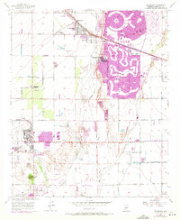
1957 Map of El Mirage
USGS Topo · Published 1972About this map
The Agua Fria River corridor in central Arizona undergoes a striking transformation on this 1957 survey, which features revisions from 1971. The planned retirement community of Sun City and neighboring Youngtown dominate the eastern landscape with distinctive circular street patterns and green belts including the Lakes West Golf Course and Viewpoint Lake. These modern developments contrast with the agricultural and industrial roots of the area, seen in the smaller settlement of El Mirage and the Ennis Station along the Atchison Topeka and Santa Fe Railway.
Find a feature on this map
48 named features on this map. Tap any name to fly to it.
Don’t see what you’re looking for? This feature index may not catch every label — zoom into the map to look around manually.
Map Details
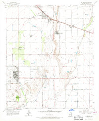
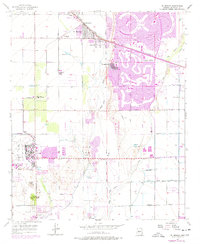
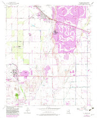
Editions of this 1957 El Mirage Map
5 editions found

Other maps of this area

1912 · Phoenix
USGS Topo · 1:62,500

1914 · Phoenix
USGS Topo · 1:62,500

1946 · Avondale
USGS Topo · 1:62,500

1948 · Cashion
USGS Topo · 1:62,500

1952 · Fowler
USGS Topo · 1:24,000

1952 · Phoenix
USGS Topo · 1:62,500

1954 · Phoenix
USGS Topo · 1:250,000

1957 · Phoenix
USGS Topo · 1:250,000

1957 · Perryville
USGS Topo · 1:24,000

1957 · Calderwood Butte
USGS Topo · 1:24,000