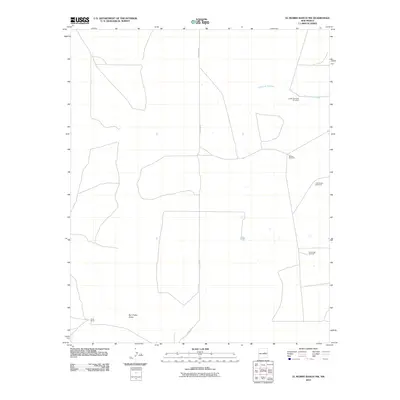
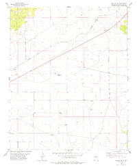
2010 Map of El Morro Ranch NW
USGS Topo · Published 2010About this map
Perez Ranch stands as a primary point of human habitation in this arid portion of Guadalupe County. The landscape is defined by its water management infrastructure, specifically the scattered windmills essential for ranching operations in this high-desert environment. These features, including the Upper Brehedo Windmill, McGee Windmill, Little Boney Windmill, and Old Boney Windmill, suggest a reliance on subterranean aquifers to support livestock across the open range. The natural drainage of the land follows features like the Cañada de Brehedo and the wide San Pablo Draw, while County Rd 3F provides the principal north-south transit corridor through the territory. This 2010 survey highlights the persistent ranching patterns and traditional land use that characterize the rural New Mexico interior.
Find a feature on this map
8 named features on this map. Tap any name to fly to it.
Don’t see what you’re looking for? This feature index may not catch every label — zoom into the map to look around manually.
Map Details
Editions of this 2010 El Morro Ranch NW Map
This is the sole edition of this map. No revisions or reprints were ever made.
Other maps of this area

1954 · Fort Sumner
USGS Topo · 1:250,000

1958 · Fort Sumner
USGS Topo · 1:250,000
1978 · El Morro Ranch SE
USGS Topo · 1:24,000
1978 · Tapia Ranch
USGS Topo · 1:24,000
1978 · El Morro Ranch
USGS Topo · 1:24,000
1978 · Laguna De Los Terreros
USGS Topo · 1:24,000
1978 · Pastura
USGS Topo · 1:24,000
1978 · El Morro Ranch NW
USGS Topo · 1:24,000
1978 · Long Draw
USGS Topo · 1:24,000
1978 · Pastura SE
USGS Topo · 1:24,000