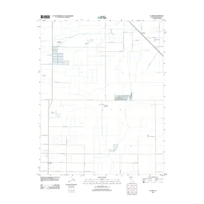
2012 Map of El Nido
USGS Topo · Published 2012About this map
El Nido and the surrounding agricultural lands of Merced County are defined by a complex network of water management features designed to sustain the region's dairy and farming industry. The landscape is crisscrossed by an orderly grid of roads and water conveyances, including the El Nido Canal, Lateral Five, and the Lingard Lateral. These structures feed the El Nido Reservoir and support numerous local operations such as Rock-Shar Dairy, Hoogendam Dairy, and Five H Farms. In the north, North Slough Mariposa Creek meanders toward Lingard, while the 59 Duck Club Airport serves as a distinct landmark amidst the fields. This survey captures a moment in the 21st century when the Central Valley's intensive irrigation-based economy remained the dominant force shaping the community and its geography.
Find a feature on this map
54 named features on this map. Tap any name to fly to it.
Don’t see what you’re looking for? This feature index may not catch every label — zoom into the map to look around manually.
Map Details
Editions of this 2012 El Nido Map
This is the sole edition of this map. No revisions or reprints were ever made.
Other maps of this area

1914 · Merced
USGS Topo · 1:31,680

1916 · Santa Rita Bridge
USGS Topo · 1:24,000

1917 · Merced
USGS Topo · 1:31,680

1918 · Bliss Ranch
USGS Topo · 1:31,680

1918 · Lingard
USGS Topo · 1:31,680

1918 · Atwater
USGS Topo · 1:31,680

1918 · Chowchilla
USGS Topo · 1:31,680

1918 · Sandy Mush
USGS Topo · 1:31,680

1918 · Planada
USGS Topo · 1:31,680

1919 · Plainsberg
USGS Topo · 1:31,680