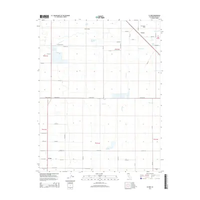
2015 Map of El Nido
USGS Topo · Published 2015About this map
El Nido and the settlement of Lingard anchor this section of the San Joaquin Valley, where the landscape is defined by a complex network of water management and agricultural infrastructure. In this portion of the Central Valley, a sophisticated system of laterals and canals, including the Lingard Lateral, Russell Lateral, and Tetzlaff Lateral, redirects water across the grid-patterned fields. Natural watercourses like Snake Slough and North Slough Mariposa Creek contrast with the engineered precision of the El Nido Canal and El Nido Reservoir. Local aviation is represented by the 59 Ranch Airport, while the rectilinear road network—featuring family-named thoroughfares such as Givens Lustre Rd and Freitas Ave—illustrates the intensive land use of Merced County's interior. This 2015 survey provides a clear view of the intersection of hydrology and habitation in California's agricultural heartland.
Find a feature on this map
57 named features on this map. Tap any name to fly to it.
Don’t see what you’re looking for? This feature index may not catch every label — zoom into the map to look around manually.
Map Details
Editions of this 2015 El Nido Map
This is the sole edition of this map. No revisions or reprints were ever made.
Other maps of this area
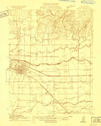
1914 · Merced
USGS Topo · 1:31,680
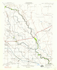
1916 · Santa Rita Bridge
USGS Topo · 1:24,000
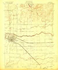
1917 · Merced
USGS Topo · 1:31,680
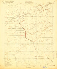
1918 · Bliss Ranch
USGS Topo · 1:31,680
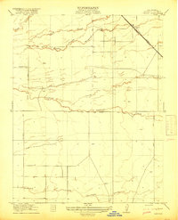
1918 · Lingard
USGS Topo · 1:31,680
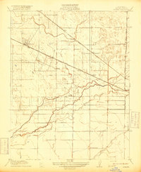
1918 · Atwater
USGS Topo · 1:31,680
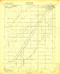
1918 · Chowchilla
USGS Topo · 1:31,680
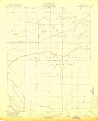
1918 · Sandy Mush
USGS Topo · 1:31,680
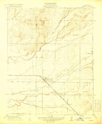
1918 · Planada
USGS Topo · 1:31,680
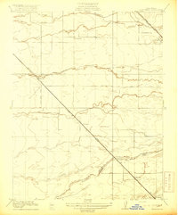
1919 · Plainsberg
USGS Topo · 1:31,680