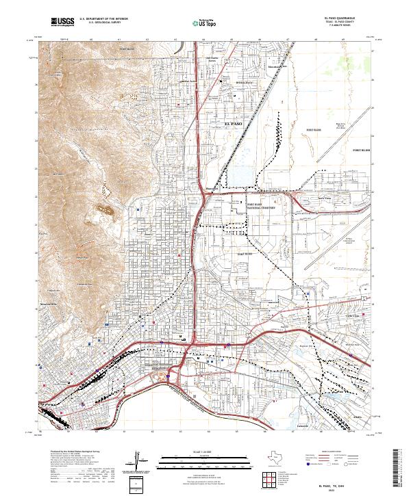
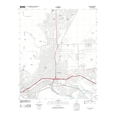
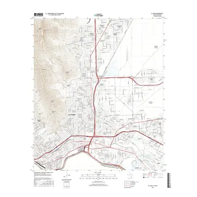
2022 Map of El Paso
USGS Topo · Published 2022About this map
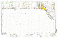
The Rio Grande serves as the international boundary between the United States and Mexico in this modern topographical study of the border region. The landscape is defined by the juxtaposition of the steep Franklin Mountains to the west—featuring peaks like Mt Franklin and Comanche Peak—and the sprawling urban and military infrastructure of El Paso to the east. Extensive military installations, including Fort Bliss and Biggs Army Airfield, occupy much of the northern and eastern portions of the map, while the Chamizal National Memorial stands near the riverbank, marking the site of a historic land dispute. Genealogists and local historians can find numerous burial sites, from the expansive Fort Bliss National Cemetery and Evergreen Cem to the smaller McGill Pauper Cem, alongside neighborhood names like Sunrise Acres and Cielo Vista.
Find a feature on this map
45 named features on this map. Tap any name to fly to it.
Don’t see what you’re looking for? This feature index may not catch every label — zoom into the map to look around manually.
Map Details
Editions of this 2022 El Paso Map
This is the sole edition of this map. No revisions or reprints were ever made.
Historical Maps of El Paso Through Time
18 maps found
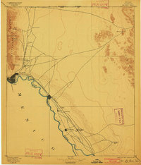
1896 El Paso
El Paso County, TX
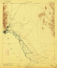
1908 El Paso
El Paso County, TX
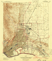
1941 El Paso
El Paso County, TX
1943 El Paso
El Paso County, TX
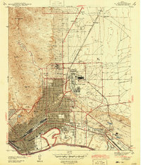
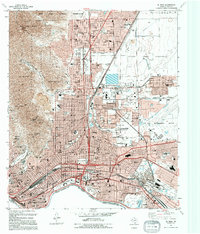
1948 El Paso
El Paso County, TX

1953 El Paso
El Paso County, TX
1955 El Paso
El Paso County, TX
1959 El Paso
El Paso County, TX

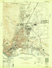
1964 El Paso
El Paso County, TX

1965 El Paso
El Paso County, TX

1983 El Paso
El Paso County, TX
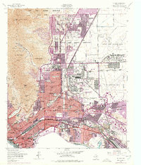
1994 El Paso
El Paso County, TX
1997 El Paso
El Paso County, TX
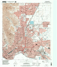
2010 El Paso
El Paso County, TX
2012 El Paso
El Paso County, TX
2016 El Paso
El Paso County, TX
2019 El Paso
El Paso County, TX
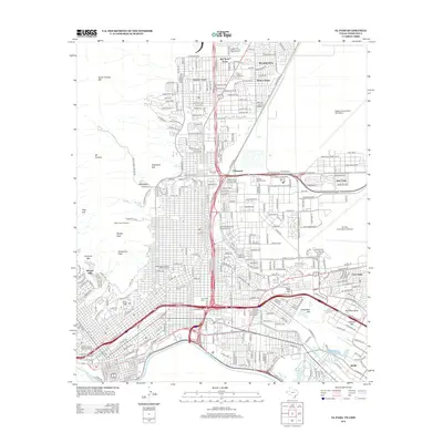
2022 El Paso
El Paso County, TX