
1940 Map of El Paso Gap
USGS Topo · Published 1940About this map
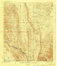
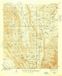
The Guadalupe Mountains dominate this high-altitude landscape, where the rugged interaction between New Mexico and Texas is defined by deep canyons and isolated ranching outposts. Cattle ranching infrastructure is central to the area's geography, with dozens of catchments like Ora Lewis Tanks and Pickett Tanks supporting remote operations such as Irabarne Ranch and Shattuck Ranch. The presence of the Queen Sch and Dog Canyon Sch suggests small, scattered communities served by the Carlsbad Road, which snakes through the high country. Deep incisions like Big Dog Canyon and Last Chance Canyon slice through the limestone plateaus, creating a complex terrain of ridges including Shattuck Ridge and Plowman Ridge. Notable landmarks like El Paso Gap and the Old Post Place anchor the history of movement through these mountain passes.
Find a feature on this map
92 named features on this map. Tap any name to fly to it.
Don’t see what you’re looking for? This feature index may not catch every label — zoom into the map to look around manually.
Map Details
Editions of this 1940 El Paso Gap Map
3 editions found
Other maps of this area

1933 · Guadalupe Peak
USGS Topo · 1:48,000

1935 · El Paso Gap
USGS Topo · 1:62,500

1936 · El Paso Gap
USGS Topo · 1:48,000

1940 · Guadalupe Peak
USGS Topo · 1:62,500

1940 · Bandanna Point
USGS Topo · 1:62,500

1940 · Carlsbad Caverns West
USGS Topo · 1:62,500

1943 · Carlsbad Caverns West
USGS Topo · 1:62,500

1943 · Bandanna Point
USGS Topo · 1:62,500

1943 · Texas Hill
USGS Topo · 1:62,500

1945 · Texas Hill
USGS Topo · 1:62,500