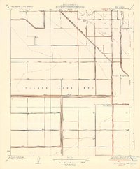
1936 Map of El Rico Ranch
USGS Topo · Published 1936About this map
The massive, drying expanse of the Tulare Lake Bed dominates this Central Valley landscape, revealed during a period of intensive hydrological engineering in the mid-1930s. The map captures a transition where the historic Tule River and its natural branches like West Branch Cross Creek are being systematically managed and redirected. A rigid grid of irrigation infrastructure, including the Tulare Lake Canal, 10 Th Ave Canal, and the Reclamation Ditch 1618, illustrates the conversion of former wetlands into industrial-scale agricultural land. Local ranching operations such as El Rico Ranch, Peterson Ranch, and Johnson Ranch are established along these new water routes. The presence of the Progressive Development Co further emphasizes the era's focus on land reclamation and resource management in Kings County.
Find a feature on this map
21 named features on this map. Tap any name to fly to it.
Don’t see what you’re looking for? This feature index may not catch every label — zoom into the map to look around manually.
Map Details
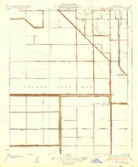
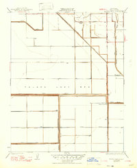
Editions of this 1936 El Rico Ranch Map
3 editions found
Other maps of this area

1914 · Lost Hills
USGS Topo · 1:125,000

1928 · Waukena
USGS Topo · 1:31,680

1928 · Corcoran
USGS Topo · 1:31,680

1929 · Guernsey
USGS Topo · 1:31,680

1929 · Stratford
USGS Topo · 1:31,680

1929 · West Alpaugh
USGS Topo · 1:31,680

1931 · Harvester
USGS Topo · 1:31,680

1932 · El Rico Ranch
USGS Topo · 1:31,680

1932 · Dudley Ridge
USGS Topo · 1:31,680

1933 · Chatom Ranch
USGS Topo · 1:31,680