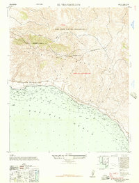
1947 Map of El Tranquillon
USGS Topo · Published 1957About this map
Tranquillon Mountain anchors this coastal section of the western Santa Ynez Mountains, where the California shoreline turns sharply at the Pacific Ocean. Just after the war, the landscape is defined by the heavy footprint of the Camp Cooke Military Reservation and the strategically placed U. S. Naval Radar Station. The rugged interior is carved by numerous canyons, including Cañada de los Sauces and Cañada de la Morida, which drain toward the rocky coast. The coastal shelf carries the vital Southern Pacific Railroad line, connecting the small rail settlements of Arguello and Sudden. This survey captures a specific moment in military and maritime history, recording hydrographic details and seabed compositions like the rocky shelf at The Espada before the region's later transition into a major spaceport facility.
Find a feature on this map
17 named features on this map. Tap any name to fly to it.
Don’t see what you’re looking for? This feature index may not catch every label — zoom into the map to look around manually.
Map Details
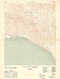
Editions of this 1947 El Tranquillon Map
2 editions found
Other maps of this area

1905 · Guadalupe
USGS Topo · 1:125,000

1905 · Lompoc
USGS Topo · 1:125,000

1942 · Point Arguello
USGS Topo · 1:62,500

1942 · Guadalupe
USGS Topo · 1:125,000

1942 · Lompoc
USGS Topo · 1:125,000

1942 · Lompoc
USGS Topo · 1:62,500

1942 · Pt. Conception
USGS Topo · 1:62,500

1943 · Lompoc
USGS Topo · 1:125,000

1947 · Lompoc
USGS Topo · 1:24,000

1947 · Surf
USGS Topo · 1:24,000