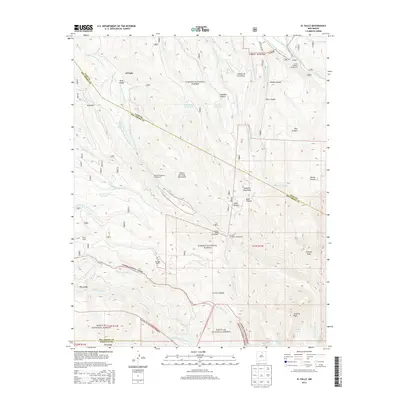
2013 Map of El Valle
USGS Topo · Published 2013About this map
El Valle and Vallecitos lie along the high drainage of the Rio de las Trampas within this portion of the Carson National Forest. The landscape is defined by its sophisticated system of traditional acequias, including the Acequia de Abajo de el Valle and the Acequia Madre de Llano San Juan, which divert water from the high peaks to the valley settlements. To the south, the terrain rises sharply into the Santa Fe National Forest, culminating in the high summits of Trampas Peak and Jicarilla Peak. This survey highlights the intersection of public land management and established family holdings, noting landmarks like the Tafoya Ranch and Martinez Ranch. Higher elevations are characterized by complex canyon systems like Osha Canyon and the alpine San Leonardo Lakes, while lower areas show the intricate network of forest roads and trails that connect remote outposts like Hodges.
Find a feature on this map
74 named features on this map. Tap any name to fly to it.
Don’t see what you’re looking for? This feature index may not catch every label — zoom into the map to look around manually.
Map Details
Editions of this 2013 El Valle Map
This is the sole edition of this map. No revisions or reprints were ever made.
Other maps of this area
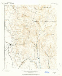
1889 · Santa Fe
USGS Topo · 1:125,000
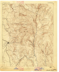
1894 · Santa Fe
USGS Topo · 1:125,000
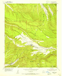
1953 · Truchas
USGS Topo · 1:24,000
1953 · Sierra Mosca
USGS Topo · 1:24,000
1953 · Trampas
USGS Topo · 1:24,000
1954 · Santa Fe
USGS Topo · 1:250,000

1954 · Raton
USGS Topo · 1:250,000

1958 · Raton
USGS Topo · 1:250,000
1958 · Santa Fe
USGS Topo · 1:250,000
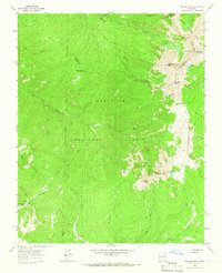
1963 · Truchas Peak
USGS Topo · 1:24,000