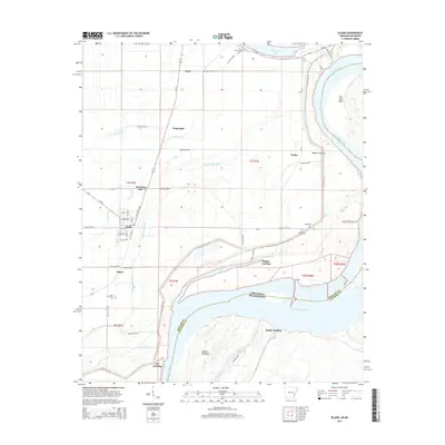
2014 Map of Elaine
USGS Topo · Published 2014About this map
The town of Elaine anchors this Delta landscape, where the shifting hydrology of the Mississippi River has historically defined the community’s layout and economy. The map reveals a complex system of drainage and former river channels, including Old Town Lake and Yellow Bank Bayou, which weave between agricultural land and small settlements. Local history is deeply embedded in the land through several named cemeteries, such as New Jerusalem Cem and Saint Claire Cem, often situated near older river landings. The riverfront itself is marked by distinctive features like the Modoc Crevasse and Robson Towhead, illustrating the ongoing physical changes along the Arkansas-Mississippi border. Small communities like Morning Star, Hoop Spur, and Modoc are connected by a grid of rural roads and state highways, reflecting the region's agricultural heritage and the importance of river access at Fair Landing and Burke Landing.
Find a feature on this map
62 named features on this map. Tap any name to fly to it.
Don’t see what you’re looking for? This feature index may not catch every label — zoom into the map to look around manually.
Map Details
Editions of this 2014 Elaine Map
This is the sole edition of this map. No revisions or reprints were ever made.
Other maps of this area
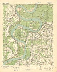
1930 · Mellwood
USGS Topo · 1:62,500
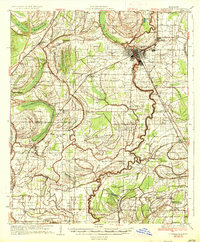
1935 · Clarksdale
USGS Topo · 1:62,500
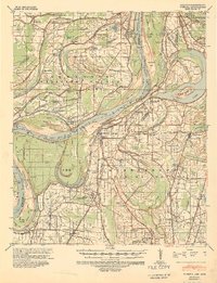
1939 · Farrell
USGS Topo · 1:62,500
1939 · Modoc
USGS Topo · 1:62,500
1939 · Clarksdale
USGS Topo · 1:62,500
1939 · Mellwood
USGS Topo · 1:62,500
1948 · Helena
USGS Topo · 1:250,000
1948 · Modoc
USGS Topo · 1:62,500
1950 · Helena
USGS Topo · 1:250,000
1954 · Mellwood
USGS Topo · 1:62,500