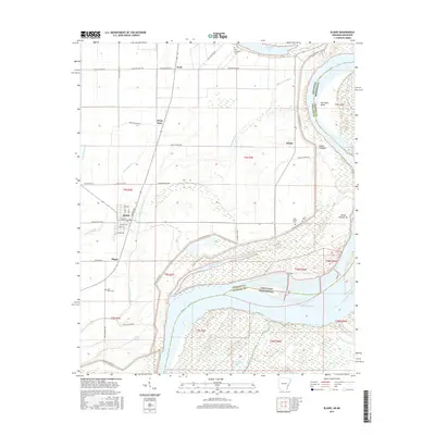
2017 Map of Elaine
USGS Topo · Published 2017About this map
Elaine stands at the center of this 2017 survey, an area defined by its relationship to the shifting Mississippi River. The landscape is a complex network of remnant waterways and flood control features, including the Modoc Crevasse and the winding Modoc Old River. These features illustrate the river's dynamic history along the border of Arkansas and Mississippi, where landforms like Island Number 62 and Old Town Bend persist within the floodplain.
Find a feature on this map
56 named features on this map. Tap any name to fly to it.
Don’t see what you’re looking for? This feature index may not catch every label — zoom into the map to look around manually.
Map Details
Editions of this 2017 Elaine Map
This is the sole edition of this map. No revisions or reprints were ever made.
Other maps of this area

1930 · Mellwood
USGS Topo · 1:62,500

1935 · Clarksdale
USGS Topo · 1:62,500

1939 · Farrell
USGS Topo · 1:62,500

1939 · Modoc
USGS Topo · 1:62,500

1939 · Clarksdale
USGS Topo · 1:62,500

1939 · Mellwood
USGS Topo · 1:62,500

1948 · Helena
USGS Topo · 1:250,000

1948 · Modoc
USGS Topo · 1:62,500

1950 · Helena
USGS Topo · 1:250,000

1954 · Mellwood
USGS Topo · 1:62,500