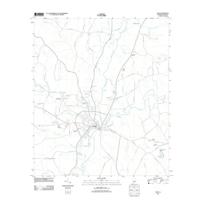
2011 Map of Elba
USGS Topo · Published 2011About this map
Elba serves as the focal point of this Coffee County survey, situated at the significant confluence where Whitewater Creek joins the Pea River. The town's layout is defined by a dense network of streets including Hickman Ave and Caroline St, protected by a levee system that follows the river's bend. To the west, aviation and recreation are represented by the Carl Folsom Airport and Lake Lorene, while the surrounding landscape is marked by small settlements like Lee and Buffalo.
Find a feature on this map
84 named features on this map. Tap any name to fly to it.
Don’t see what you’re looking for? This feature index may not catch every label — zoom into the map to look around manually.
Map Details
Editions of this 2011 Elba Map
This is the sole edition of this map. No revisions or reprints were ever made.
Other maps of this area

1942 · Enterprise
USGS Topo · 1:125,000

1948 · Brundidge
USGS Topo · 1:62,500

1950 · Enterprise
USGS Topo · 1:62,500

1950 · Brundidge
USGS Topo · 1:62,500

1953 · Andalusia
USGS Topo · 1:250,000

1953 · Dothan
USGS Topo · 1:250,000

1954 · Dothan
USGS Topo · 1:250,000

1955 · Dothan
USGS Topo · 1:250,000

1957 · Andalusia
USGS Topo · 1:250,000

1960 · Victoria
USGS Topo · 1:24,000