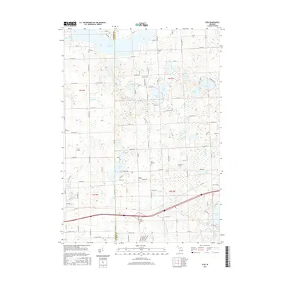
2017 Map of Elba
USGS Topo · Published 2017About this map
The Genesee and Lapeer County line bisects this landscape of glacial lakes and river valleys in eastern Michigan. The settlement of Elba serves as a central point, surrounded by a high density of rural burial grounds including Elba Township Cemetery, German Cemetery, and the Flint River Cemetery. Significant water features dominate the northern and southern reaches, from the expansive Holloway Reservoir and the Flint River to the smaller basins of Potters Lake and Skinner Lake. The terrain is also defined by an intricate network of drainage systems like the Hammond and Misener Drain and Washington Drain, which support the local agriculture and land management of the region. Aviation history is noted by the presence of John's Airport, while the proximity of various small lakes such as Pero Lake and Bronson Lake highlights the post-war development of lakefront property and recreational land use.
Find a feature on this map
84 named features on this map. Tap any name to fly to it.
Don’t see what you’re looking for? This feature index may not catch every label — zoom into the map to look around manually.
Map Details
Editions of this 2017 Elba Map
This is the sole edition of this map. No revisions or reprints were ever made.
Other maps of this area
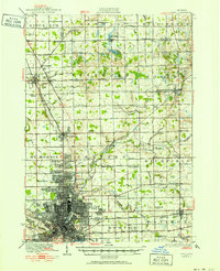
1920 · Flint
USGS Topo · 1:62,500
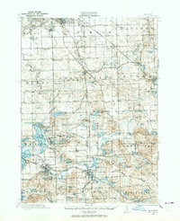
1920 · Holly
USGS Topo · 1:62,500
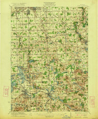
1922 · Holly
USGS Topo · 1:62,500
1922 · Flint
USGS Topo · 1:62,500
1943 · Holly
USGS Topo · 1:62,500
1943 · Flint
USGS Topo · 1:62,500
1943 · Metamora
USGS Topo · 1:24,000
1945 · Hadley
USGS Topo · 1:24,000
1946 · Metamora
USGS Topo · 1:24,000
1954 · Detroit
USGS Topo · 1:250,000