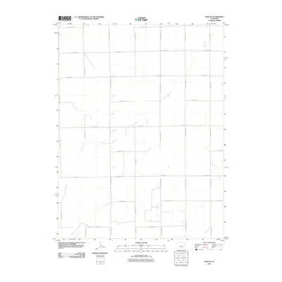
2010 Map of Elba SE
USGS Topo · Published 2010About this map
Jack Creek winds across this section of Washington County, defining the drainage patterns of an otherwise strictly gridded agricultural landscape. The map reveals a meticulous network of section-line roads, such as County Rd HH and County Rd 21, which partition the high plains into the systematic blocks typical of the Homestead Act's legacy in eastern Colorado. This 2010 survey illustrates the persistence of rural infrastructure, where isolated farmsteads are connected by a web of routes from County Rd 13 to the northern bounds. The subtle contour lines highlight the gentle depressions and rises that direct seasonal water toward the creek, providing a clear look at the topography that has governed land use and settlement in this semi-arid region for over a century.
Find a feature on this map
18 named features on this map. Tap any name to fly to it.
Don’t see what you’re looking for? This feature index may not catch every label — zoom into the map to look around manually.
Map Details
Editions of this 2010 Elba SE Map
This is the sole edition of this map. No revisions or reprints were ever made.
Other maps of this area

1954 · Limon
USGS Topo · 1:250,000

1957 · Limon
USGS Topo · 1:250,000

1958 · Limon
USGS Topo · 1:250,000
1974 · Elba
USGS Topo · 1:24,000
1974 · De Nova NW
USGS Topo · 1:24,000
1977 · Elba SW
USGS Topo · 1:24,000

1977 · Arickaree
USGS Topo · 1:24,000
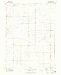
1977 · Elba NE
USGS Topo · 1:24,000

1977 · Elba SE
USGS Topo · 1:24,000
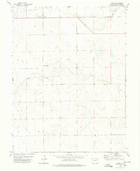
1978 · Anton
USGS Topo · 1:24,000