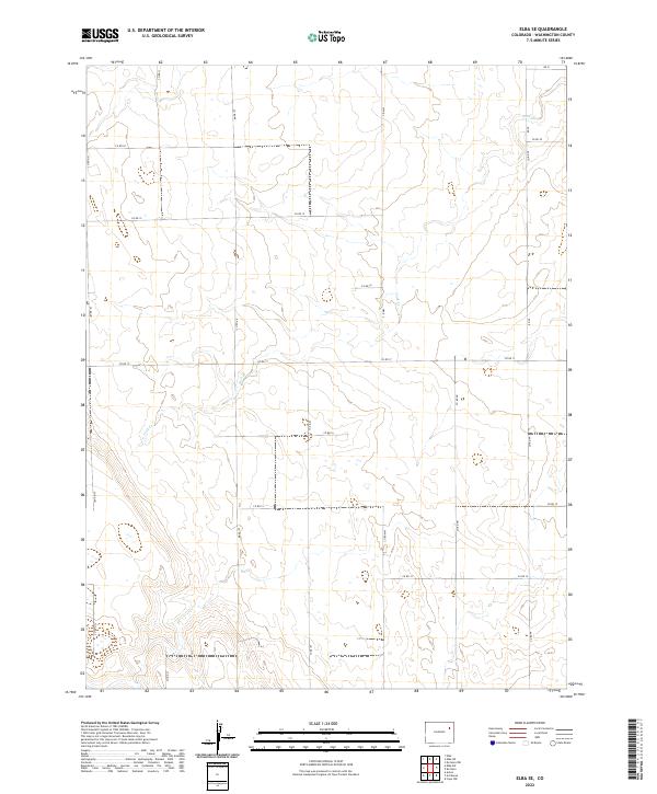
2022 Map of Elba SE
USGS Topo · Published 2022About this map
Jack Cr meanders across this high plains landscape of Washington County, defining the primary drainage pattern for an area characterized by its strictly surveyed agricultural sections. The map reveals the rigid organization of the High Plains, where the Public Land Survey System creates a geometric tapestry of section lines. This area is divided into townships t2s r51w, t2s r50w, t3s r51w, and t3s r50w. The infrastructure is dominated by a systematic grid of county roads, such as Co RD HH and Co RD KK, which facilitate travel through this expansive ranching and farming territory. The absence of concentrated settlements suggests a region dedicated to large-scale land use, where the few named natural features like Jack Cr serve as vital landmarks for those navigating the eastern Colorado plains.
Find a feature on this map
21 named features on this map. Tap any name to fly to it.
Don’t see what you’re looking for? This feature index may not catch every label — zoom into the map to look around manually.
Map Details
Editions of this 2022 Elba SE Map
This is the sole edition of this map. No revisions or reprints were ever made.
Other maps of this area

1954 · Limon
USGS Topo · 1:250,000

1957 · Limon
USGS Topo · 1:250,000

1958 · Limon
USGS Topo · 1:250,000
1974 · Elba
USGS Topo · 1:24,000
1974 · De Nova NW
USGS Topo · 1:24,000
1977 · Elba SW
USGS Topo · 1:24,000

1977 · Arickaree
USGS Topo · 1:24,000
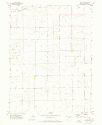
1977 · Elba NE
USGS Topo · 1:24,000

1977 · Elba SE
USGS Topo · 1:24,000
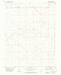
1978 · Anton
USGS Topo · 1:24,000