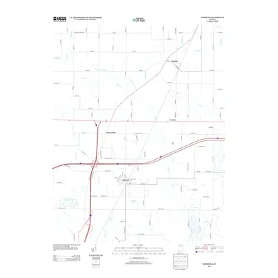
2013 Map of Elberfeld
USGS Topo · Published 2013About this map
Elberfeld and its surrounding rural communities are captured here in Warrick County at a time when modern highway development intersects with early 19th-century infrastructure. The path of the historic Wabash and Erie Canal is still clearly marked in the northern part of the quadrangle, running parallel to Pigeon Cr and cutting through the farmland near Wheatonville. This juxtaposition highlights the transition from the canal era to the age of interstate travel, as the junction of Interstate 64 and Highway 57 now dominates the local landscape.
Find a feature on this map
94 named features on this map. Tap any name to fly to it.
Don’t see what you’re looking for? This feature index may not catch every label — zoom into the map to look around manually.
Map Details
Editions of this 2013 Elberfeld Map
This is the sole edition of this map. No revisions or reprints were ever made.
Other maps of this area

1901 · Princeton
USGS Topo · 1:62,500

1901 · Haubstadt
USGS Topo · 1:62,500

1902 · Ditney
USGS Topo · 1:125,000

1902 · Boonville
USGS Topo · 1:62,500

1903 · Haubstadt
USGS Topo · 1:62,500

1903 · Petersburg
USGS Topo · 1:62,500

1903 · Princeton
USGS Topo · 1:62,500

1903 · Patoka
USGS Topo · 1:125,000

1956 · Vincennes
USGS Topo · 1:250,000

1957 · Vincennes
USGS Topo · 1:250,000