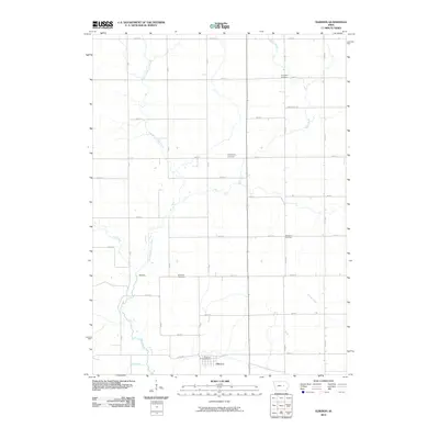
2010 Map of Elberon
USGS Topo · Published 2010About this map
Elberon sits at the heart of this Tama County landscape, serving as a primary point of settlement alongside the smaller community of Waltham to the northwest. The terrain is defined by a dense network of watercourses, including the East Branch Salt Creek, Stein Creek, and Wolf Creek, which together carve a complex drainage pattern across the rural grid. This 2010 survey illustrates the persistent agricultural layout of the region, where a structured system of avenues and streets, such as V Ave and 250th ST, connects scattered homesteads and burial grounds.
Find a feature on this map
41 named features on this map. Tap any name to fly to it.
Don’t see what you’re looking for? This feature index may not catch every label — zoom into the map to look around manually.
Map Details
Editions of this 2010 Elberon Map
This is the sole edition of this map. No revisions or reprints were ever made.
Other maps of this area

1954 · Waterloo
USGS Topo · 1:250,000

1954 · Des Moines
USGS Topo · 1:250,000

1955 · Waterloo
USGS Topo · 1:250,000

1956 · Des Moines
USGS Topo · 1:250,000

1957 · Des Moines
USGS Topo · 1:250,000

1965 · Keystone South
USGS Topo · 1:24,000

1968 · Belle Plaine
USGS Topo · 1:24,000

1968 · Chelsea
USGS Topo · 1:24,000

1969 · Des Moines
USGS Topo · 1:250,000
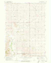
1971 · Elberon
USGS Topo · 1:24,000