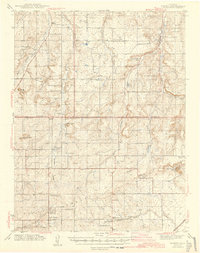
1944 Map of Elbert
USGS Topo · Published 1944About this map
The Black Forest dominates the southwestern portion of this mid-century survey, where the high plains meet the timbered ridges along the borders of Douglas, Elbert, and El Paso counties. The settlement at Elbert serves as a local hub near Running Creek, while the rural landscape to the south is defined by a dense network of country schools, including Cedar Grove Sch, Lincoln Sch, and East Cherry Sch. This distribution of one-room schoolhouses suggests a widely dispersed ranching community during the pre-war years.
Find a feature on this map
49 named features on this map. Tap any name to fly to it.
Don’t see what you’re looking for? This feature index may not catch every label — zoom into the map to look around manually.
Map Details
Editions of this 1944 Elbert Map
2 editions found
Other maps of this area

1893 · Big Springs
USGS Topo · 1:125,000

1893 · Colorado Springs
USGS Topo · 1:125,000

1894 · Castle Rock
USGS Topo · 1:125,000

1909 · Colorado Springs
USGS Topo · 1:125,000

1913 · Castle Rock
USGS Topo · 1:125,000

1939 · Elizabeth
USGS Topo · 1:62,500

1940 · Elbert
USGS Topo · 1:62,500

1940 · Castle Rock
USGS Topo · 1:62,500

1942 · Colorado Springs
USGS Topo · 1:125,000

1944 · Elbert
USGS Topo · 1:62,500