
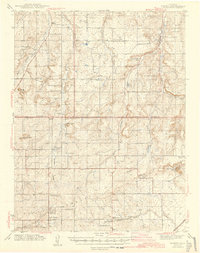
1944 Map of Elbert
USGS Topo · Published 1944About this map
The northern reaches of the Black Forest dominate this 1944 survey, where the rolling divide between the Arkansas and South Platte river basins is carved by numerous north-flowing drainages. Ranching life is well-documented through named holdings such as the Ten-Sleep Ranch, Pine Park Ranch, and Bar X Ranch. The mapping reflects a rural landscape still organized around small school districts, with several rural schoolhouses like the Black Forest Sch, Sidney Sch, and James Sch serving isolated agricultural communities.
Find a feature on this map
50 named features on this map. Tap any name to fly to it.
Don’t see what you’re looking for? This feature index may not catch every label — zoom into the map to look around manually.
Map Details
Editions of this 1944 Elbert Map
2 editions found
Other maps of this area

1893 · Big Springs
USGS Topo · 1:125,000

1893 · Colorado Springs
USGS Topo · 1:125,000

1894 · Castle Rock
USGS Topo · 1:125,000

1909 · Colorado Springs
USGS Topo · 1:125,000

1913 · Castle Rock
USGS Topo · 1:125,000

1939 · Elizabeth
USGS Topo · 1:62,500

1940 · Elbert
USGS Topo · 1:62,500

1940 · Castle Rock
USGS Topo · 1:62,500

1942 · Colorado Springs
USGS Topo · 1:125,000

1945 · Castle Rock
USGS Topo · 1:62,500