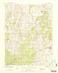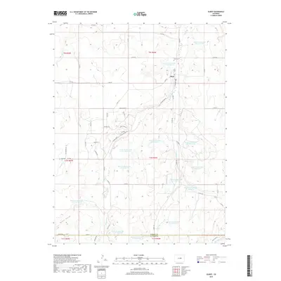
1970 Map of Elbert
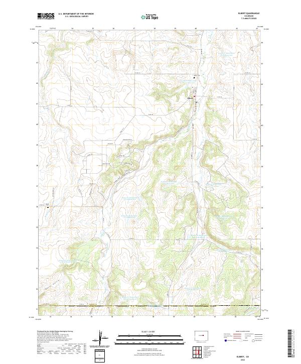
USGS Topo · Published 1979About this map
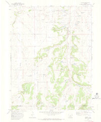
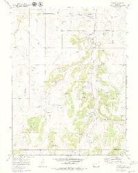
Elbert sits at the junction of several drainage systems in the high plains of Elbert County, where the landscape is defined by the northward flow of Running Creek and Kiowa Creek. This 1970s record illustrates the shift from early rail infrastructure to modern recreation and ranching. The Old Railroad Grade remains a prominent landmark through the center of the valley, while newer features like the J-CC Camp and Peaceful Valley Ranch signal the area's evolving use. Small-scale industrial activity is evidenced by several Gravel Pits near the town site. For genealogists and local historians, the map preserves the location of the community Cem and family-named terrain like Neffs Gulch, as well as the transition into the northern reaches of El Paso County. The inclusion of a Landing Strip and various Jeep Trails further highlights the area's transition into a more accessible rural landscape.
Find a feature on this map
14 named features on this map. Tap any name to fly to it.
Don’t see what you’re looking for? This feature index may not catch every label — zoom into the map to look around manually.
Map Details
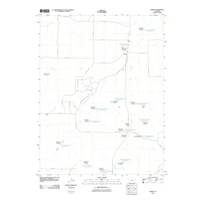
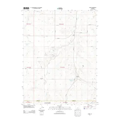
Editions of this 1970 Elbert Map
4 editions found
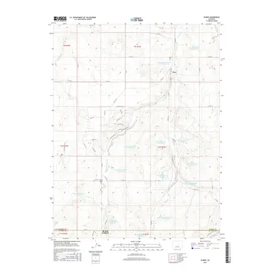
Historical Maps of Elbert Through Time
8 maps found