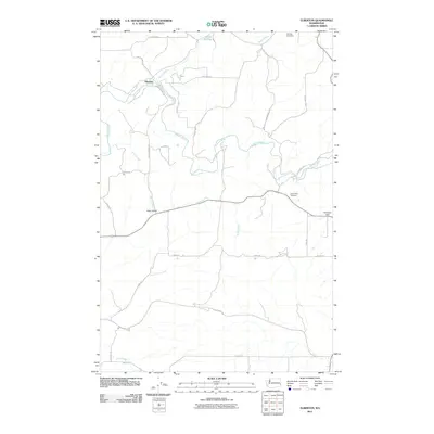
2011 Map of Elberton
USGS Topo · Published 2011About this map
Palouse River and its various tributaries, including Silver Creek and Brush Creek, define the agricultural landscape of this region in Whitman County. The settlement of Elberton sits along the river's bend, while Eden Valley serves as a secondary focal point to the south. The rural road network is heavily influenced by family names and land ownership, with routes like Omer Brown Rd, Draper Brown Rd, and Stueckle Rd providing access to the rolling wheat country of the Palouse. This 2011 survey documents the location of important genealogical sites such as Garfield Cemetery and Eden Valley Cemetery, as well as distinctive terrain features like Turnbow Flat in the eastern portion of the quadrangle.
Find a feature on this map
29 named features on this map. Tap any name to fly to it.
Don’t see what you’re looking for? This feature index may not catch every label — zoom into the map to look around manually.
Map Details
Editions of this 2011 Elberton Map
This is the sole edition of this map. No revisions or reprints were ever made.
Other maps of this area

1903 · Oakesdale
USGS Topo · 1:125,000

1905 · Oakesdale
USGS Topo · 1:125,000

1910 · Pullman
USGS Topo · 1:125,000

1955 · Pullman
USGS Topo · 1:250,000

1955 · Spokane
USGS Topo · 1:250,000

1958 · Spokane
USGS Topo · 1:250,000

1958 · Pullman
USGS Topo · 1:250,000

1964 · Viola
USGS Topo · 1:24,000

1964 · Elberton
USGS Topo · 1:24,000

1964 · Colfax North
USGS Topo · 1:24,000