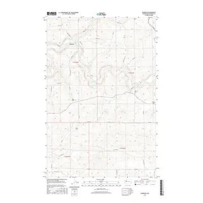
2017 Map of Elberton
USGS Topo · Published 2017About this map
The Palouse River winds through the northern portion of this Whitman County landscape, where the settlement of Elberton is situated at the confluence with Silver Cr. This area is characterized by high-elevation plateaus and deep drainage cuts, with the agricultural and residential patterns closely following the natural contours of the land. Further south, Eden Valley represents a distinct pocket of settlement, served by the Eden Valley Cem and connected to the wider region by a network of rural routes such as Lange Rd and James Rd.
Find a feature on this map
36 named features on this map. Tap any name to fly to it.
Don’t see what you’re looking for? This feature index may not catch every label — zoom into the map to look around manually.
Map Details
Editions of this 2017 Elberton Map
This is the sole edition of this map. No revisions or reprints were ever made.
Other maps of this area

1903 · Oakesdale
USGS Topo · 1:125,000

1905 · Oakesdale
USGS Topo · 1:125,000

1910 · Pullman
USGS Topo · 1:125,000

1955 · Pullman
USGS Topo · 1:250,000

1955 · Spokane
USGS Topo · 1:250,000

1958 · Spokane
USGS Topo · 1:250,000

1958 · Pullman
USGS Topo · 1:250,000

1964 · Viola
USGS Topo · 1:24,000

1964 · Elberton
USGS Topo · 1:24,000

1964 · Colfax North
USGS Topo · 1:24,000