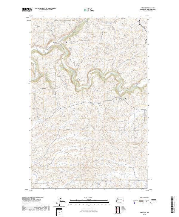
2023 Map of Elberton
USGS Topo · Published 2023About this map
The Palouse River carves a deep, winding valley through this part of the Washington Palouse, defining the landscape around the small settlement of Elberton. This area is characterized by the high-relief basalt plateaus and canyons typical of the region, where roads like Elberton Rd and Sunrise Rd follow the undulating terrain above the riverbanks. The mapping of Elberton Cem and Eden Valley Cem provides critical points for genealogical research, anchoring family histories to these specific rural uplands.
Find a feature on this map
37 named features on this map. Tap any name to fly to it.
Don’t see what you’re looking for? This feature index may not catch every label — zoom into the map to look around manually.
Map Details
Editions of this 2023 Elberton Map
This is the sole edition of this map. No revisions or reprints were ever made.
Other maps of this area

1903 · Oakesdale
USGS Topo · 1:125,000

1905 · Oakesdale
USGS Topo · 1:125,000

1910 · Pullman
USGS Topo · 1:125,000

1955 · Pullman
USGS Topo · 1:250,000

1955 · Spokane
USGS Topo · 1:250,000

1958 · Spokane
USGS Topo · 1:250,000

1958 · Pullman
USGS Topo · 1:250,000

1964 · Viola
USGS Topo · 1:24,000

1964 · Elberton
USGS Topo · 1:24,000

1964 · Colfax North
USGS Topo · 1:24,000