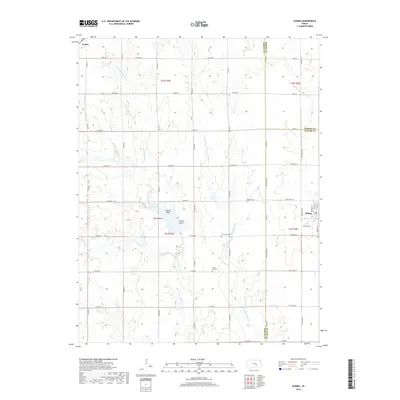
2018 Map of Elbing
USGS Topo · Published 2018About this map
Walton and Elbing anchor the northwest and eastern edges of this landscape, situated at the jurisdictional crossroads of Harvey, Marion, and Butler Counties. The terrain is defined by the dendritic drainage of the East Branch Whitewater Creek and its many tributaries, including Gypsum Cr and Dry Cr. This network of waterways creates distinct topographical overlooks such as Needle Point, Crown Point, and Catfish Point, which provide local relief in the agricultural plains.
Find a feature on this map
56 named features on this map. Tap any name to fly to it.
Don’t see what you’re looking for? This feature index may not catch every label — zoom into the map to look around manually.
Map Details
Editions of this 2018 Elbing Map
This is the sole edition of this map. No revisions or reprints were ever made.
Other maps of this area

1889 · Newton
USGS Topo · 1:125,000

1889 · Wichita
USGS Topo · 1:125,000

1894 · Wichita
USGS Topo · 1:125,000

1894 · Newton
USGS Topo · 1:125,000

1955 · Wichita
USGS Topo · 1:250,000

1955 · Hutchinson
USGS Topo · 1:250,000

1957 · Newton
USGS Topo · 1:24,000

1957 · Peabody NW
USGS Topo · 1:24,000

1957 · Peabody
USGS Topo · 1:24,000

1957 · Elbing
USGS Topo · 1:24,000