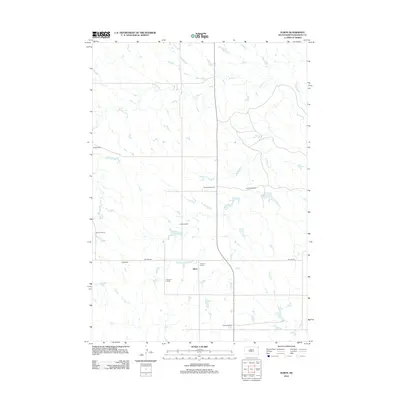
2012 Map of Elbon
USGS Topo · Published 2012About this map
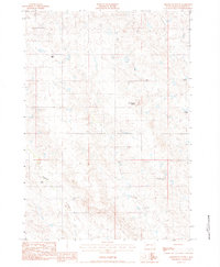
Elbon and its surrounding ranch lands define this South Dakota landscape in the early 21st century. The map reveals a sparse, agrarian settlement pattern dominated by established family holdings, including the Donald King Ranch, Rick King Ranch, and Kroetch Ranch. This high-plains geography is shaped by the winding course of W Plum Cr and the waters of Kroetch Lake to the south. Transportation in the area relies on the north-south corridor of Highway 73 and local thoroughfares like Hilland Rd, which connect the remote homesteads of Morrison Ranch and Pitchfork Ranch. The distribution of these named ranches illustrates the scale of modern prairie land management in Haakon County.
Find a feature on this map
13 named features on this map. Tap any name to fly to it.
Don’t see what you’re looking for? This feature index may not catch every label — zoom into the map to look around manually.
Map Details
Editions of this 2012 Elbon Map
This is the sole edition of this map. No revisions or reprints were ever made.
Other maps of this area

1954 · Pierre
USGS Topo · 1:250,000

1958 · Pierre
USGS Topo · 1:250,000

1983 · Philip
USGS Topo · 1:100,000

1983 · Hilland
USGS Topo · 1:24,000
1983 · Elevenmile Corner
USGS Topo · 1:24,000
1983 · Hartley
USGS Topo · 1:24,000

1983 · Milesville
USGS Topo · 1:24,000

1983 · Tornado Ranch
USGS Topo · 1:24,000
1983 · Lucerne
USGS Topo · 1:24,000
1983 · Grindstone Butte
USGS Topo · 1:24,000