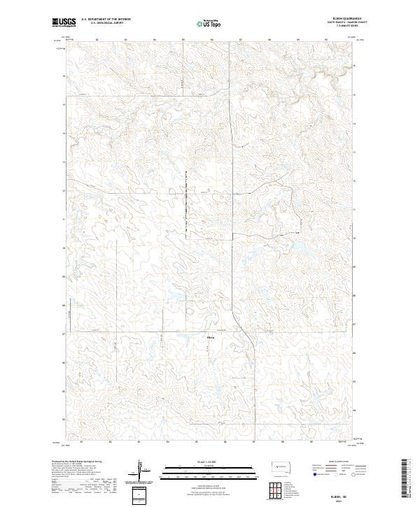
2021 Map of Elbon
USGS Topo · Published 2021About this map
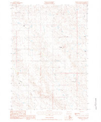
Elbon sits at the heart of this Haakon County landscape, marking a quiet point of reference amidst the vast section lines of western South Dakota. The terrain is defined by the winding course of W Plum Cr and the drainage of Buzzard Cr, illustrating the vital role of water in this semi-arid ranching country. The presence of Kroetch Lake north of the main settlement area indicates the importance of water storage in the high plains. A grid of rural roads, including Hilland Rd and numbered routes like 212th St, delineates the township and range system that organized the Great Plains for homesteaders and ranchers. This map reflects a classic western prairie landscape where the economy is tied closely to the topography and the sparse network of connectors between isolated ranching communities.
Find a feature on this map
16 named features on this map. Tap any name to fly to it.
Don’t see what you’re looking for? This feature index may not catch every label — zoom into the map to look around manually.
Map Details
Editions of this 2021 Elbon Map
This is the sole edition of this map. No revisions or reprints were ever made.
Other maps of this area

1954 · Pierre
USGS Topo · 1:250,000

1958 · Pierre
USGS Topo · 1:250,000

1983 · Philip
USGS Topo · 1:100,000

1983 · Hilland
USGS Topo · 1:24,000
1983 · Elevenmile Corner
USGS Topo · 1:24,000
1983 · Hartley
USGS Topo · 1:24,000

1983 · Milesville
USGS Topo · 1:24,000

1983 · Tornado Ranch
USGS Topo · 1:24,000
1983 · Lucerne
USGS Topo · 1:24,000
1983 · Grindstone Butte
USGS Topo · 1:24,000