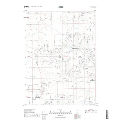
2018 Map of Elburn
USGS Topo · Published 2018About this map
Elburn sits at the heart of this Kane County landscape, where the headwaters of Blackberry Cr and Mill Cr drain the glacial terrain. The map records a dense network of local history, preserved in the distribution of family and pioneer burial sites such as Saint Gall Cem, Blackberry Cem, and the small L. M. Baker Cem to the north. These sites, along with the community of Wasco and the village of Lily Lake, reflect the long-standing agricultural and residential character of the region west of the Fox River cities. The terrain is marked by distinct drainage patterns like Lily Lake Run and the E Br S Br Kishwaukee River, while modern developments in Campton Hills and the edges of Elgin show the evolving suburban footprint over this historic prairie landscape.
Find a feature on this map
172 named features on this map. Tap any name to fly to it.
Don’t see what you’re looking for? This feature index may not catch every label — zoom into the map to look around manually.
Map Details
Editions of this 2018 Elburn Map
This is the sole edition of this map. No revisions or reprints were ever made.
Other maps of this area

1925 · Elgin
USGS Topo · 1:62,500

1932 · Geneva
USGS Topo · 1:62,500

1937 · Sycamore
USGS Topo · 1:62,500

1938 · Genoa
USGS Topo · 1:62,500

1940 · Elgin
USGS Topo · 1:62,500

1948 · Geneva
USGS Topo · 1:62,500

1949 · Geneva
USGS Topo · 1:24,000

1950 · Aurora North
USGS Topo · 1:24,000

1954 · Rockford
USGS Topo · 1:250,000

1955 · Rockford
USGS Topo · 1:250,000