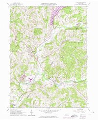
1964 Map of Elderton
USGS Topo · Published 1974About this map
The borough of Elderton sits at the center of this mid-1960s landscape, where the rural character of the Armstrong and Indiana county border is defined by winding creek valleys and an expanding energy infrastructure. The map traces the winding course of Plum Creek and Crooked Creek, the latter of which passes through the village of Idaho and the small cluster at Shelocta. This era of the Pennsylvania countryside is marked by a heavy presence of gas fields and gas wells scattered across the hills, often connected by a network of pipelines.
Find a feature on this map
45 named features on this map. Tap any name to fly to it.
Don’t see what you’re looking for? This feature index may not catch every label — zoom into the map to look around manually.
Map Details
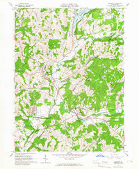
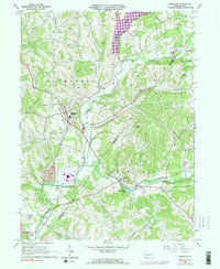
Editions of this 1964 Elderton Map
3 editions found
Other maps of this area

1901 · Rural Valley
USGS Topo · 1:62,500

1902 · Indiana
USGS Topo · 1:62,500

1902 · Elders Ridge
USGS Topo · 1:62,500

1903 · Rural Valley
USGS Topo · 1:62,500

1904 · Elders Ridge
USGS Topo · 1:62,500

1909 · Smicksburg
USGS Topo · 1:62,500

1938 · Smicksburg
USGS Topo · 1:62,500

1939 · Smicksburg
USGS Topo · 1:62,500

1953 · Pittsburgh
USGS Topo · 1:250,000

1954 · Pittsburgh
USGS Topo · 1:250,000