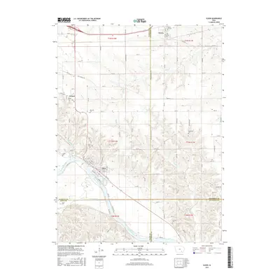
2015 Map of Eldon
USGS Topo · Published 2015About this map
Eldon serves as the focal point of this survey, situated at a bend in the Des Moines River where the street grid is clearly defined by corridors like W Elm St and Des Moines St. The surrounding countryside is a study in rural Iowa genealogy, marked by numerous small burial grounds including Ellsworth Cem, Gonferman Cem, and Iowaville Cem. These sites, often located at the periphery of farmland, provide a direct link to the early families of Wapello Co and Jefferson Co.
Find a feature on this map
61 named features on this map. Tap any name to fly to it.
Don’t see what you’re looking for? This feature index may not catch every label — zoom into the map to look around manually.
Map Details
Editions of this 2015 Eldon Map
This is the sole edition of this map. No revisions or reprints were ever made.
Other maps of this area

1954 · Centerville
USGS Topo · 1:250,000
1954 · Des Moines
USGS Topo · 1:250,000
1956 · Des Moines
USGS Topo · 1:250,000
1956 · Farson
USGS Topo · 1:24,000
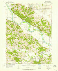
1956 · Agency
USGS Topo · 1:24,000
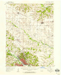
1956 · Ottumwa North
USGS Topo · 1:62,500
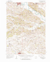
1956 · Ottumwa South
USGS Topo · 1:62,500
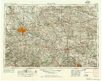
1957 · Des Moines
USGS Topo · 1:250,000
1957 · Centerville
USGS Topo · 1:250,000
1958 · Centerville
USGS Topo · 1:250,000